


Gallery

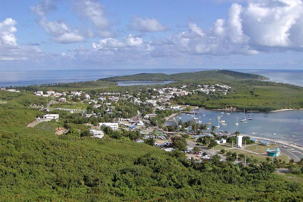


Map and nearest places
| Longitude | Latitude |
|---|---|
| 18.325833 | -65.6525 |
| 18°19'0"N | 65°39'0"W |
| Nearest places | ||
|---|---|---|
| Diego Jimenez Torres Airport | 9.0km | |
| Antonio Rivera Rodriguez Airport | 27.1km | |
_337859396_16.png) | Vieques | 34.1km |
| Benjamin Rivera Noriega Airport | 36.8km | |
_224953470_16.png) | Culebra | 38.3km |
| Luis Munoz Marin International Airport | 38.9km | |
 | Caguas | 42.2km |
 | San Juan | 45.8km |
| Fernando Luis Ribas Dominicci Airport | 49.2km | |
| Cyrill King Airport | 71.7km | |
| Water Island | 73.8km | |
| Saint Thomas Island | 77.7km | |
| John Paul II International Airport | 8,135.7km | |
| Barrow Island Airport | 19,711.8km | |
Accomodation
Restaurants
Airports
Weblinks
Comments
You need to log in to add comment