


_337859396_64.png)
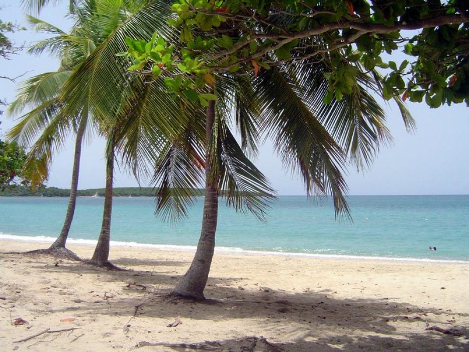
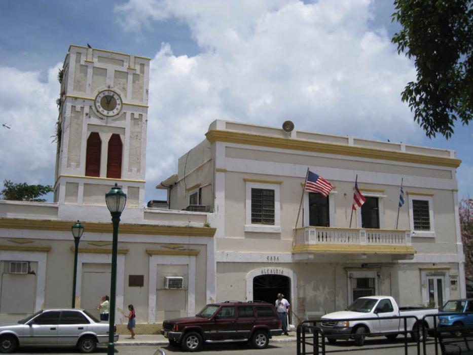
Gallery


Map and nearest places
| Longitude | Latitude |
|---|---|
| 18.116667 | -65.416667 |
| 18°7'0"N | 65°25'0"W |
| Nearest places | ||
|---|---|---|
| Antonio Rivera Rodriguez Airport | 8.4km | |
| Benjamin Rivera Noriega Airport | 24.9km | |
_224953470_16.png) | Culebra | 26.0km |
| Diego Jimenez Torres Airport | 27.9km | |
| Fajarado | 34.1km | |
| Cyrill King Airport | 52.9km | |
| Water Island | 53.9km | |
| Charlotte Amalie Harbor SPB | 56.0km | |
| Saint Thomas Island | 58.0km | |
 | Caguas | 67.0km |
| Luis Munoz Marin International Airport | 71.4km | |
| Saint Croix | 74.0km | |
| John Paul II International Airport | 8,136.4km | |
| Barrow Island Airport | 19,697.6km | |
Airports
Weblinks
Comments
You need to log in to add comment