


.svg_1651380311_64.png)
_224953470_64.png)
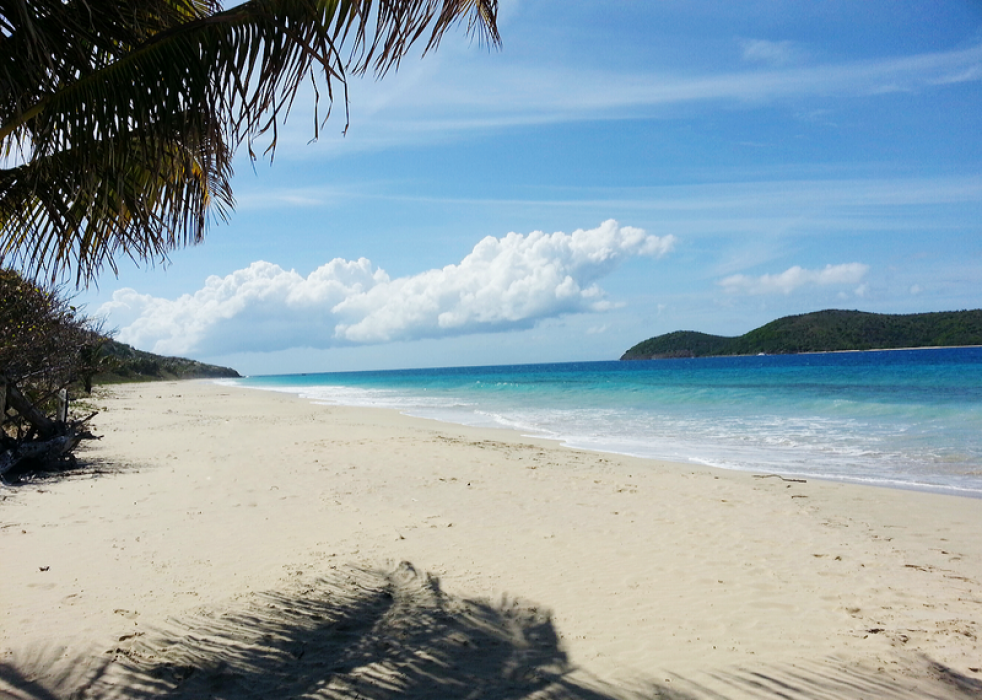
Gallery


Map and nearest places
| Longitude | Latitude |
|---|---|
| 18.316944 | -65.29 |
| 18°19'0"N | 65°17'0"W |
| Nearest places | ||
|---|---|---|
| Benjamin Rivera Noriega Airport | 1.6km | |
_337859396_16.png) | Vieques | 26.0km |
| Antonio Rivera Rodriguez Airport | 29.5km | |
| Cyrill King Airport | 33.5km | |
| Water Island | 35.5km | |
| Charlotte Amalie Harbor SPB | 36.9km | |
| Diego Jimenez Torres Airport | 38.1km | |
| Fajarado | 38.3km | |
| Saint Thomas Island | 39.4km | |
| St John Island | 58.8km | |
| Jost Van Dyke Island | 60.6km | |
| Luis Munoz Marin International Airport | 76.3km | |
| John Paul II International Airport | 8,110.9km | |
| Barrow Island Airport | 19,722.6km | |
Airports

Weblinks
Comments
You need to log in to add comment