


Gallery


Map and nearest places
| Longitude | Latitude |
|---|---|
| 39.4175 | -77.37444444444439 |
| 39°25'0"N | 77°22'0"W |
| Nearest places | ||
|---|---|---|
 | Frederick | 4.1km |
| Middletown | 14.8km | |
| Mount Airy | 19.4km | |
| Thurmont | 23.3km | |
| Brunswick | 24.6km | |
| Taneytown | 31.9km | |
| Montgomery County Airpark | 33.0km | |
| Carroll County Regional Airport | 37.9km | |
| Leesburg Executive Airport | 40.9km | |
| Hagerstown Regional Airport | 44.4km | |
| Gettysburg Regional Airport | 47.9km | |
| Eastern WV Regional Airport | 52.5km | |
| John Paul II International Airport | 7,209.7km | |
| Busselton Regional Airport | 18,710.7km | |
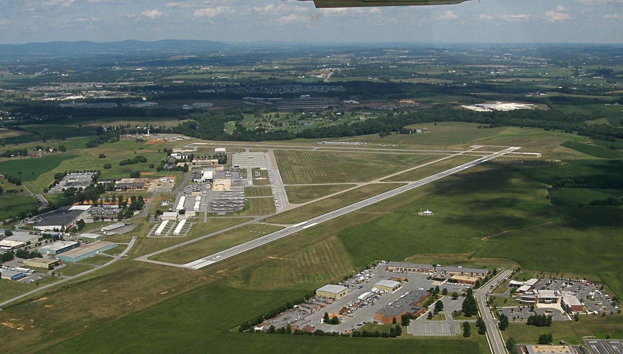
General informations
| Airport type | Local airport |
| ICAO | KFDK |
| IATA | FDK |
| FAA | FDK |
| Elevation | 303 ft / 92 m MSL |
Weblinks
Comments
You need to log in to add comment