


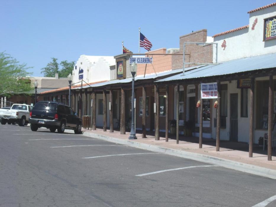
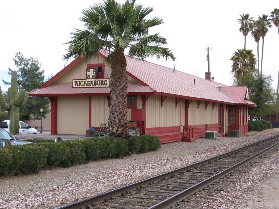
Gallery


Map and nearest places
| Longitude | Latitude |
|---|---|
| 33.965 | -112.748055555556 |
| 33°57'0"N | 112°44'0"W |
| Nearest places | ||
|---|---|---|
| Wickenburg Municipal Airport | 4.4km | |
| Buckeye Municipal Airport | 60.8km | |
| Peoria | 63.5km | |
| Buckeye | 67.7km | |
| Phoenix Deer Valley Airport | 68.7km | |
| Phoenix Goodyear Airport | 69.4km | |
| Avondale | 69.6km | |
| Prescott | 69.9km | |
 | Cave Creek | 74.8km |
| Carefree | 77.6km | |
| Sky Ranch Airport | 80.2km | |
| Prescott Municipal Airport | 82.4km | |
| John Paul II International Airport | 9,569.8km | |
| Sir Gaëtan Duval Airport | 18,389.3km | |
Accomodation
Restaurants
Golfs club
Airports
Weblinks
Comments
You need to log in to add comment