


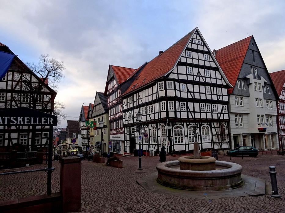
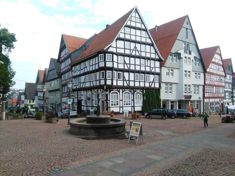
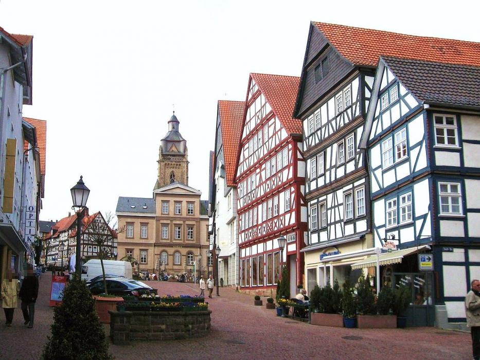
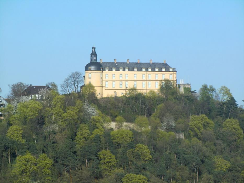


Map and nearest places
| Longitude | Latitude |
|---|---|
| 51.116667 | 9.116667 |
| 51°7'0"N | 9°7'0"E |
| Nearest places | ||
|---|---|---|
 | Homberg | 21.9km |
 | Frankenberg | 23.3km |
 | Bad Arolsen | 28.7km |
 | Battenberg | 34.5km |
 | Kassel | 34.7km |
| Kassel Calden Airport | 37.1km | |
 | Marburg | 41.8km |
| Paderborn Lippstadt Airport | 65.3km | |
| Dortmund Airport | 113.7km | |
| Frankfurt Airport | 126.3km | |
| Erfurt Airport | 129.9km | |
| Egelsbach Airport | 132.8km | |
| John Paul II International Airport | 761.1km | |
| Tuuta Airport | 19,101.6km | |
Weblinks
Comments
You need to log in to add comment