


_2085439144_700.jpg)


Map and nearest places
| Longitude | Latitude |
|---|---|
| 49.4149 | 2.823056 |
| 49°24'0"N | 2°49'0"E |
| Nearest places | ||
|---|---|---|
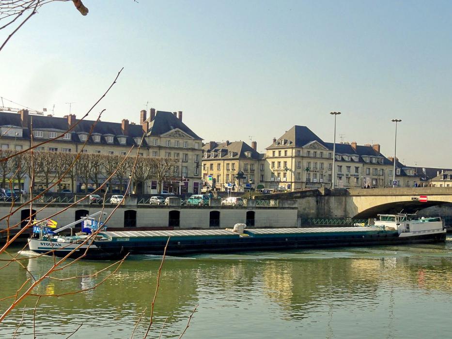
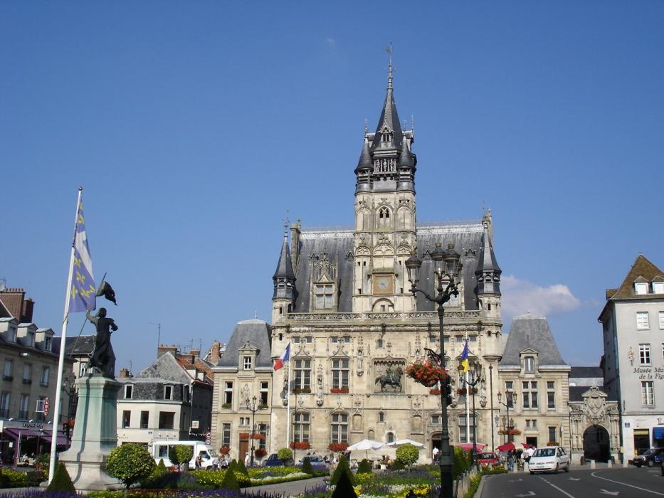
| Compiègne | 0.0km | |
 | Pierrefonds | 13.7km |
 | Noyon | 22.5km |
 | Villers-Cotterets | 25.9km |
 | Senlis | 28.6km |
 | Chauny | 36.4km |
| Charles de Gaulle International Airport | 48.9km | |
| Paris Beauvais Tille Airport | 51.5km | |
| Le Bourget Airport | 56.8km | |
| Aérodrome de Amiens - Glisy | 59.8km | |
| Albert-Picardie Airport | 62.7km | |
| Pontoise - Cormeilles En Vexin Airport | 66.9km | |
| John Paul II International Airport | 1,218.3km | |
| Tuuta Airport | 19,389.4km | |
Comments
You need to log in to add comment