


_2140784783_700.jpg)

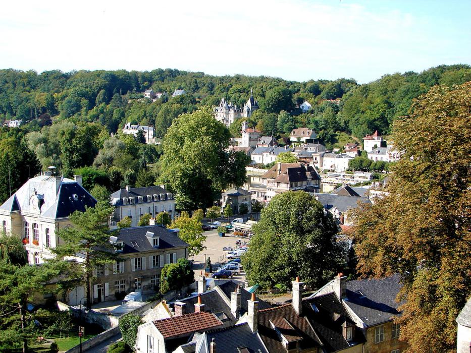
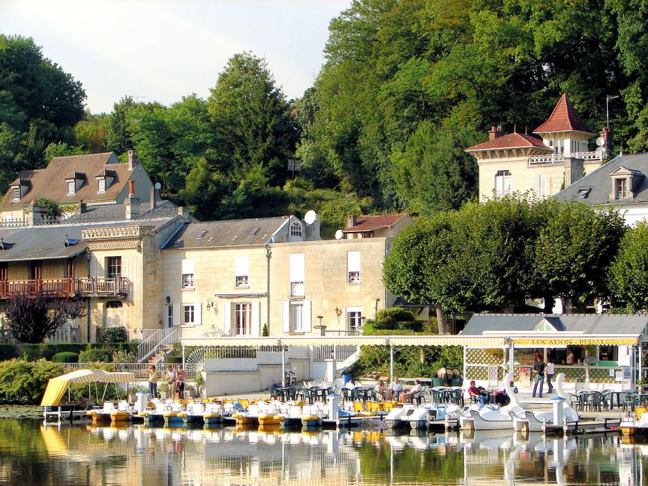


Map and nearest places
| Longitude | Latitude |
|---|---|
| 49.35 | 2.983333 |
| 49°21'0"N | 2°58'0"E |
| Nearest places | ||
|---|---|---|
 | Villers-Cotterets | 12.7km |
| Compiègne | 13.7km | |
 | Compiègne | 13.7km |
 | Soissons | 24.9km |
 | Noyon | 25.8km |
 | Senlis | 32.8km |
| Charles de Gaulle International Airport | 49.0km | |
| Le Bourget Airport | 57.8km | |
| Paris Beauvais Tille Airport | 64.1km | |
| Lognes - EMERAINVILLE Airport | 64.2km | |
| Aérodrome de Amiens - Glisy | 72.3km | |
| Albert-Picardie Airport | 72.3km | |
| John Paul II International Airport | 1,208.2km | |
| Tuuta Airport | 19,397.6km | |
Comments
You need to log in to add comment