


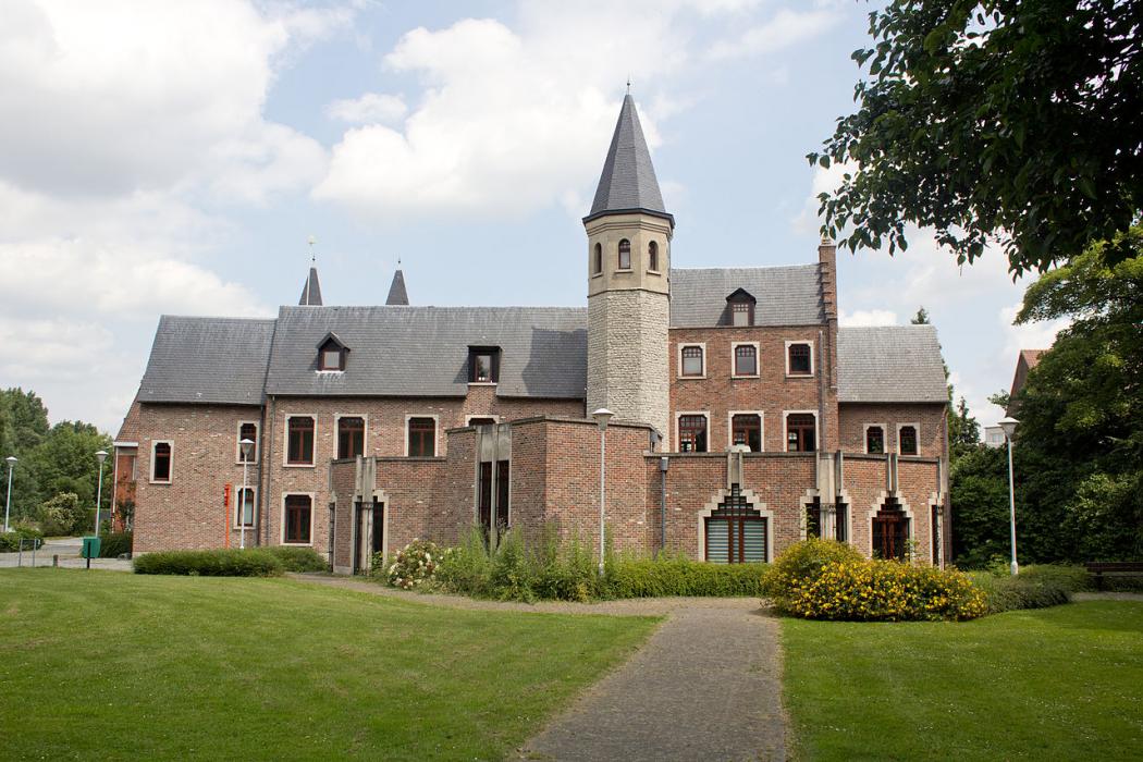
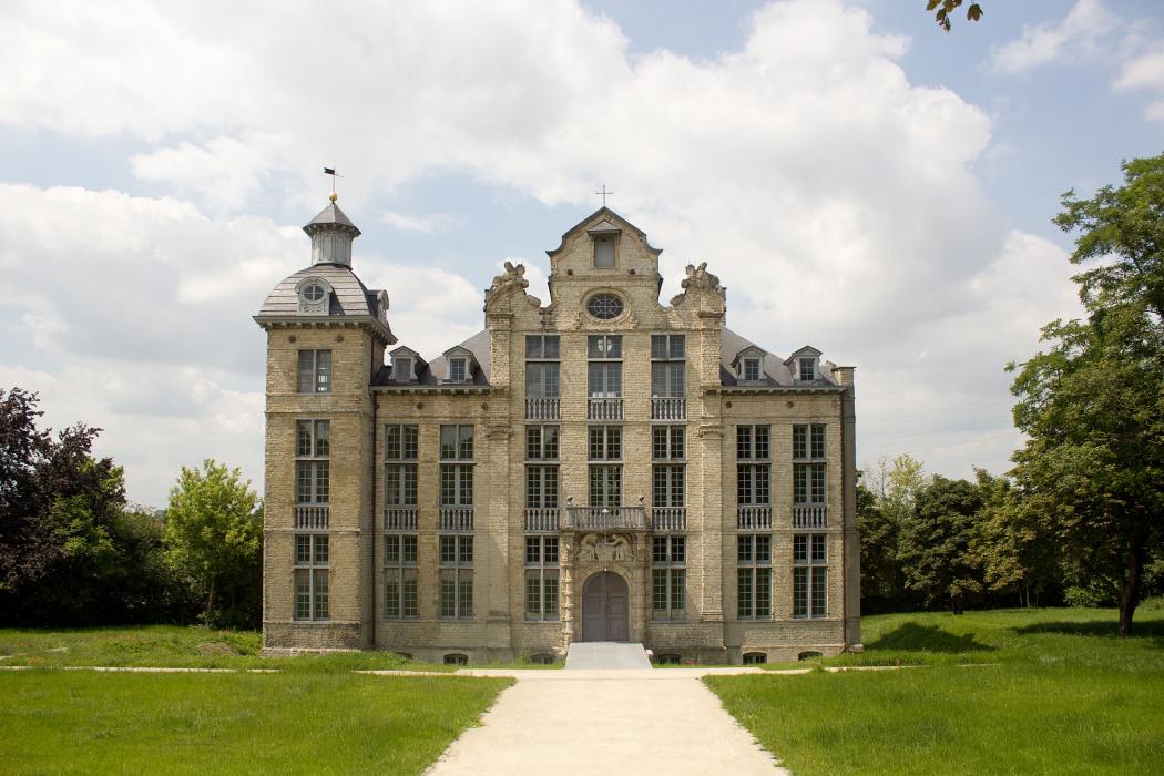
Gallery


Map and nearest places
| Longitude | Latitude |
|---|---|
| 50.916667 | 4.433333 |
| 50°55'0"N | 4°25'0"E |
| Nearest places | ||
|---|---|---|
| Brussels International Airport | 3.8km | |
 | Grimbergen | 4.0km |
| Brussels | 9.6km | |
 | Mechelen | 11.4km |
 | Boortmeerbeek | 11.9km |
 | Tervuren | 12.1km |
 | Dilbeek | 13.8km |
| Antwerp International Airport | 30.4km | |
| Brussels South Charleroi Airport | 50.9km | |
| Hilversum Airport | 58.5km | |
| Liege Airport | 77.5km | |
| Flanders International Airport | 86.9km | |
| John Paul II International Airport | 1,087.9km | |
| Tuuta Airport | 19,222.0km | |
Accomodation

Restaurants
Weblinks
Comments
You need to log in to add comment