


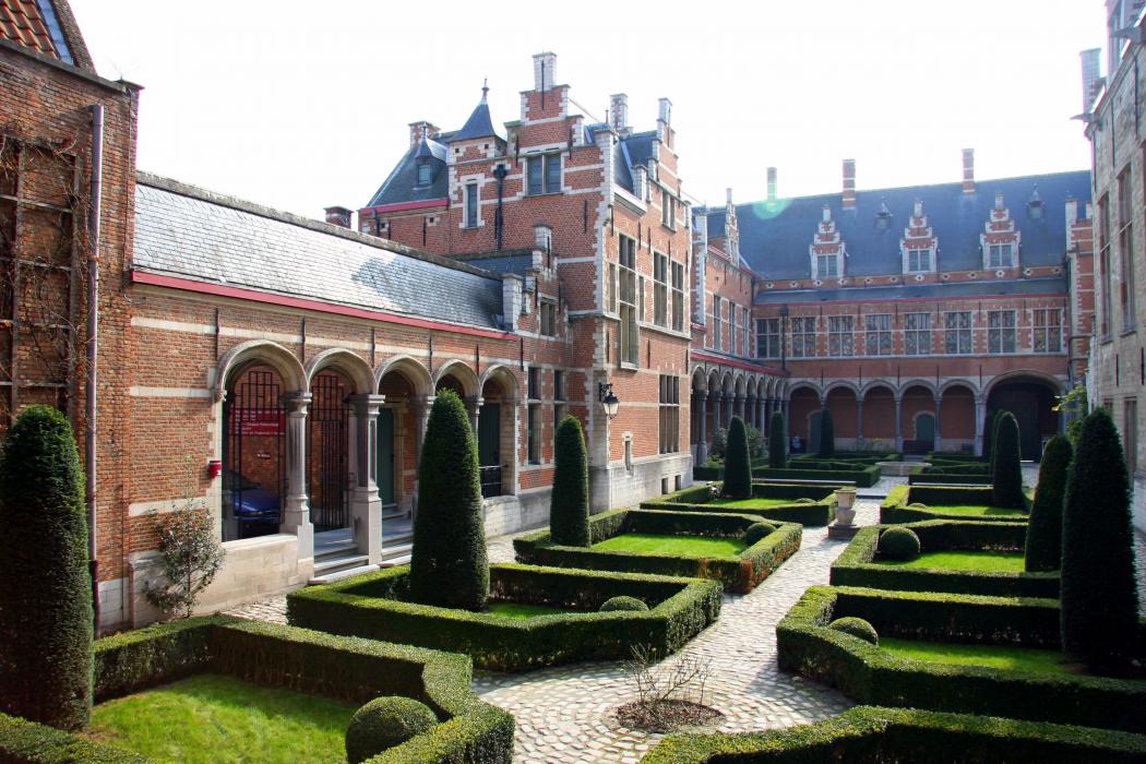
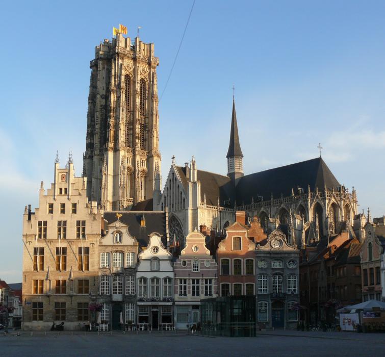
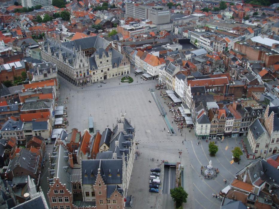
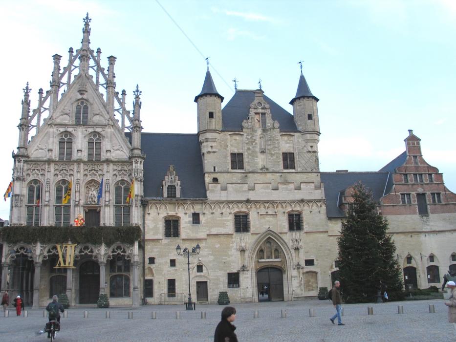
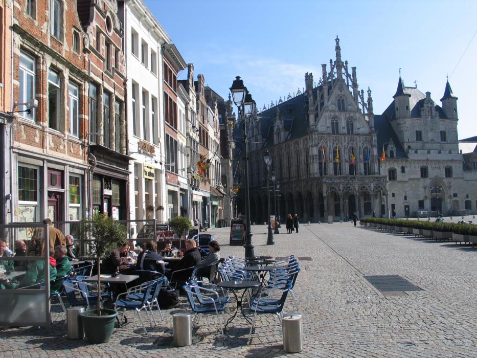
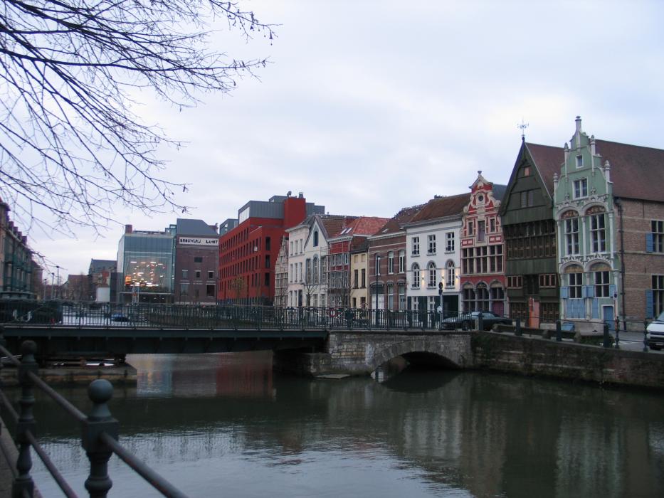
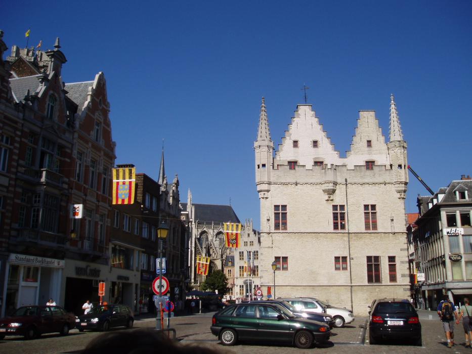
Gallery


Map and nearest places
| Longitude | Latitude |
|---|---|
| 51.016666666666694 | 4.46666666666667 |
| 51°1'0"N | 4°28'0"E |
| Nearest places | ||
|---|---|---|
 | Bonheiden | 5.0km |
 | Sint-Katelijne-Waver | 7.3km |
 | Boortmeerbeek | 7.9km |
| Rijmenam | 8.5km | |
 | Grimbergen | 11.0km |
 | Machelen | 11.4km |
| Brussels International Airport | 12.2km | |
| Antwerp International Airport | 19.2km | |
| Hilversum Airport | 51.3km | |
| Brussels South Charleroi Airport | 62.0km | |
| Eindhoven Airport | 78.9km | |
| Liege Airport | 80.5km | |
| John Paul II International Airport | 1,085.4km | |
| Tuuta Airport | 19,210.8km | |
Accomodation
Restaurants
Breweries
Weblinks
Comments
You need to log in to add comment