


Gallery
_239014580_700.jpg)
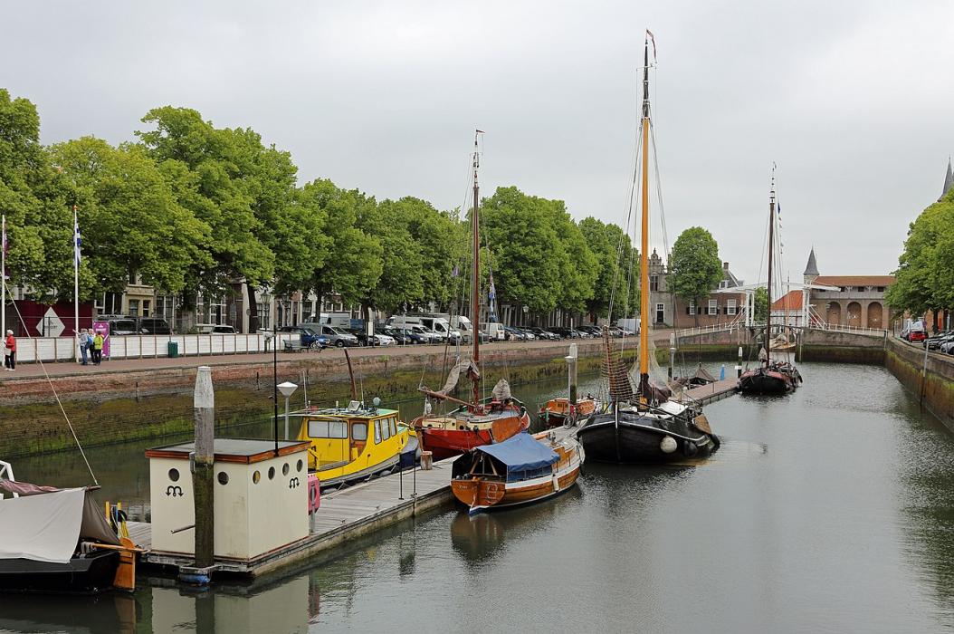


Map and nearest places
| Longitude | Latitude |
|---|---|
| 51.649722 | 3.916389 |
| 51°38'0"N | 3°54'0"E |
| Nearest places | ||
|---|---|---|
 | Goes | 16.8km |
| Veere | 20.2km | |
 | Tholen | 24.4km |
 | Middelburg | 26.6km |
 | Domburg | 30.6km |
 | Bergen op Zoom | 31.3km |
| Rotterdam Airport | 49.5km | |
| Antwerp International Airport | 63.6km | |
| Ostend-Bruges International Airport | 88.5km | |
| Brussels International Airport | 91.5km | |
| Amsterdam Airport Schiphol | 93.5km | |
| Hilversum Airport | 99.4km | |
| John Paul II International Airport | 1,125.0km | |
| Tuuta Airport | 19,142.9km | |
Accomodation
Restaurants
Weblinks
Comments
You need to log in to add comment