


Gallery


Map and nearest places
| Longitude | Latitude |
|---|---|
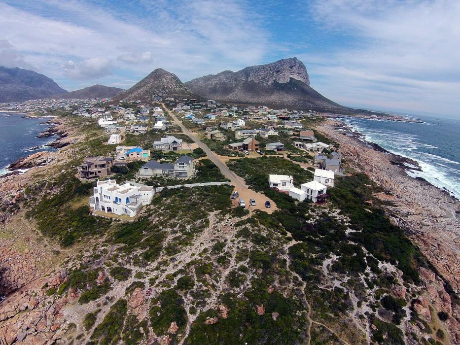
| -34.35 | 18.816667 |
| 34°21'0"S | 18°49'0"E |
| Nearest places | ||
|---|---|---|
| Somerset West | 28.4km | |
| Grabouw | 28.9km | |
| Botrivier | 38.3km | |
| Hermanus | 40.5km | |
| Cape Town International Airport | 47.1km | |
| Stellenbosch | 48.0km | |
| Gansbaai | 55.5km | |
| Robertson Airport | 116.5km | |
| Langebaanweg Airport | 165.2km | |
| George Airport | 329.9km | |
| Port Elizabeth Airport | 626.9km | |
| Oranjemund Airport | 679.3km | |
| John Paul II International Airport | 9,388.4km | |
| Lihue Airport | 18,627.4km | |
Accomodation
Weblinks
Comments
You need to log in to add comment