


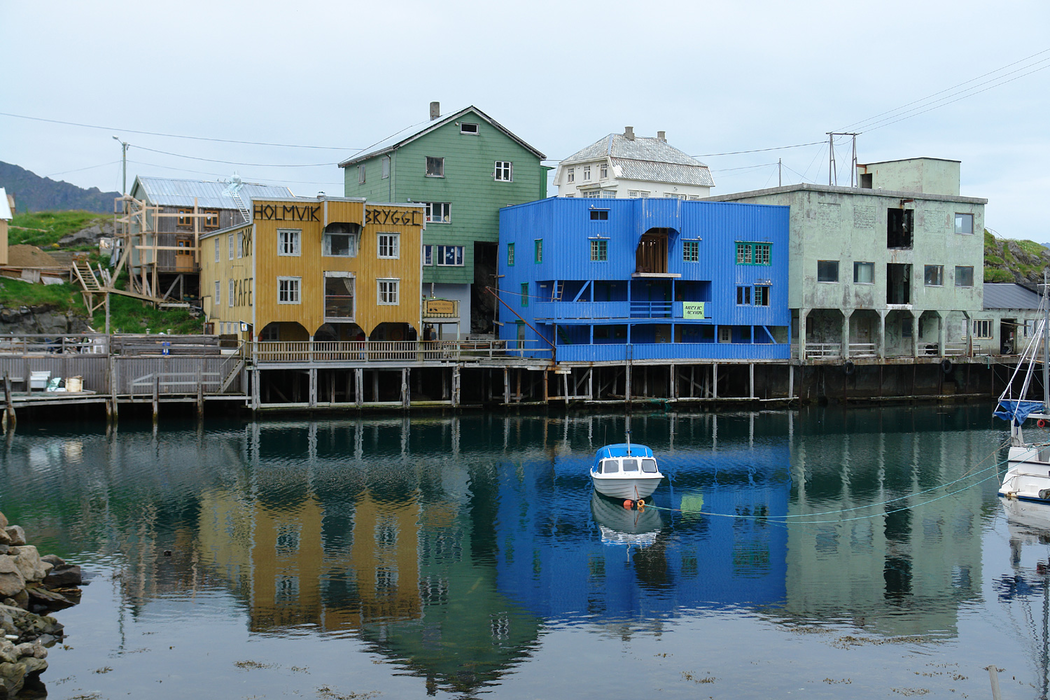
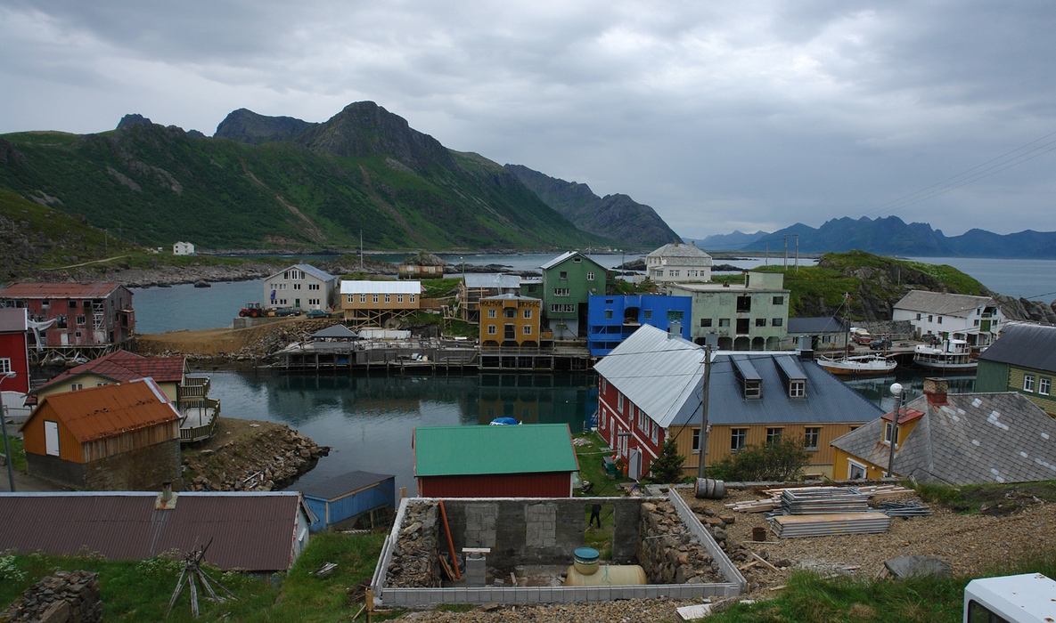
Gallery


Map and nearest places
| Longitude | Latitude |
|---|---|
| 68.9952777777778 | 15.0111111111111 |
| 68°59'0"N | 15°0'0"E |
| Nearest places | ||
|---|---|---|
| Myre - Langoya Island | 9.0km | |
| Sortland | 33.6km | |
| Stokmarknes Airport | 46.1km | |
| Stokmarknes | 47.8km | |
| Melbu | 55.5km | |
| Andoya Airport, | 55.7km | |
| Andenes | 56.4km | |
 | Harstad | 65.2km |
| Svolvar Airport | 84.8km | |
| Harstad/Narvik Airport, | 87.7km | |
| Leknes Airport | 109.6km | |
| Narvik Airport | 114.2km | |
| John Paul II International Airport | 2,119.2km | |
| Stewart Island Airport | 17,142.2km | |
Accomodation
Weblinks
Comments
You need to log in to add comment