


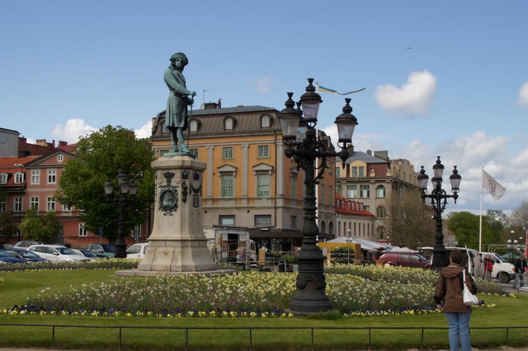
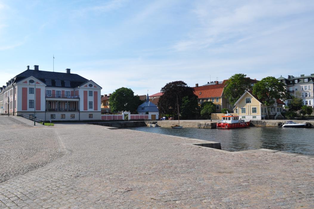
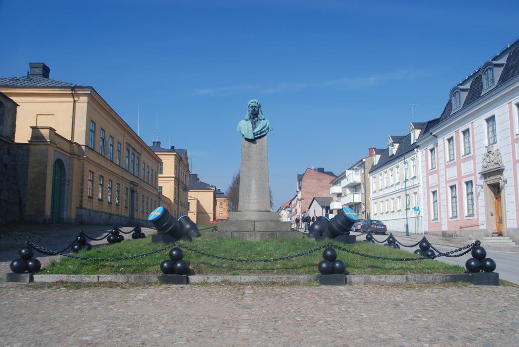
Gallery


Map and nearest places
| Longitude | Latitude |
|---|---|
| 56.161111 | 15.5875 |
| 56°9'0"N | 15°35'0"E |
| Nearest places | ||
|---|---|---|
 | Ronneby | 19.3km |
| Ronneby Airport | 23.1km | |
| Karlshamn | 45.7km | |
| Solvesborg | 64.1km | |
| Olofstrom | 66.2km | |
| Kalmar Airport | 72.5km | |
 | Kalmar | 73.4km |
 | Kristianstad | 89.9km |
| Kristianstad Airport | 96.9km | |
| Vaxjo Airport | 100.3km | |
| Bornholm Airport | 132.7km | |
| Feringe Airport | 134.6km | |
| John Paul II International Airport | 731.8km | |
| Tuuta Airport | 18,399.2km | |
Accomodation

Golfs club
Weblinks
Comments
You need to log in to add comment