


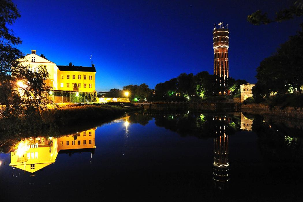


Map and nearest places
| Longitude | Latitude |
|---|---|
| 56.6630555555556 | 16.3630555555556 |
| 56°39'0"N | 16°21'0"E |
| Nearest places | ||
|---|---|---|
| Kalmar Airport | 5.2km | |
| Borgholm | 29.9km | |
| Mönsterås | 42.5km | |
 | Oskarshamn | 67.1km |
 | Karlskrona | 73.4km |
| Oskarshamn Airport | 76.9km | |
| Ronneby Airport | 80.6km | |
 | Ronneby | 84.0km |
 | Hultsfred | 96.7km |
| Hultsfred Airport | 101.3km | |
| Vaxjo Airport | 103.9km | |
| Vastervik | 124.6km | |
| John Paul II International Airport | 766.4km | |
| Tuuta Airport | 18,325.9km | |
Accomodation
Restaurants
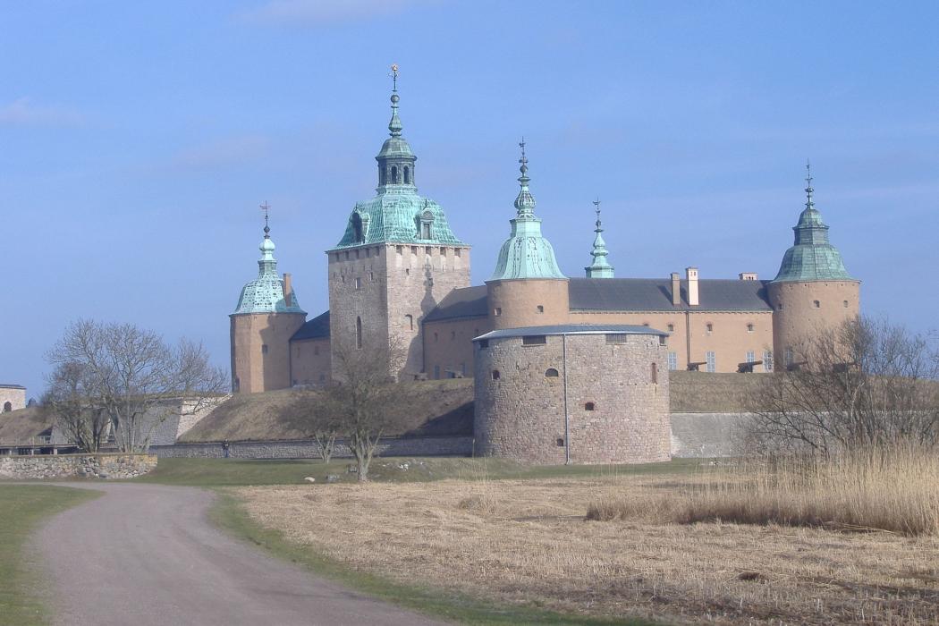
Castles
Golfs club
Airports
Weblinks
Comments
You need to log in to add comment