


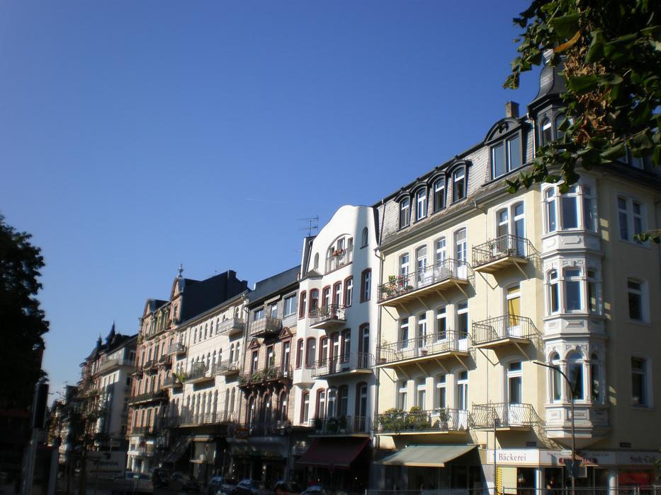
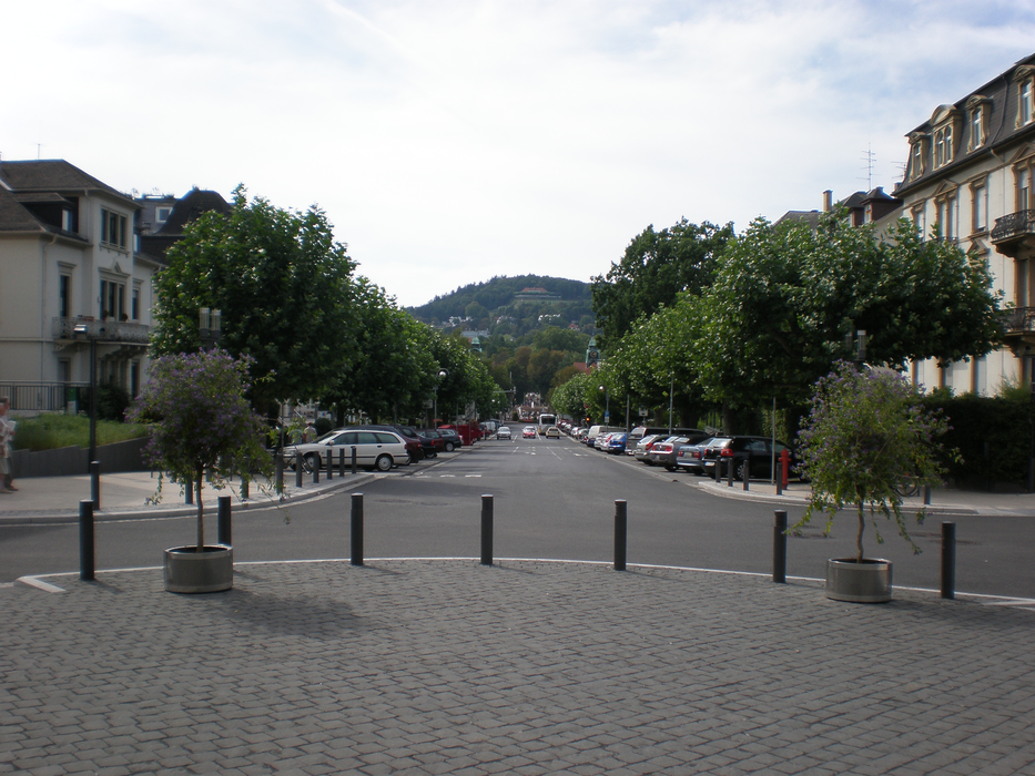
Gallery


Map and nearest places
| Longitude | Latitude |
|---|---|
| 50.366666666666696 | 8.75 |
| 50°22'0"N | 8°45'0"E |
| Nearest places | ||
|---|---|---|
 | Friedberg | 3.7km |
 | Butzbach | 9.5km |
 | Hungen | 15.4km |
 | Lich | 18.0km |
 | Bad Homburg vor der H�he | 18.2km |
 | Bad Vibel | 21.0km |
| Frankfurt Airport | 39.1km | |
| Egelsbach Airport | 45.8km | |
| Mannheim City Airport | 100.9km | |
| W�rzburg-Schenkenturm Airport | 102.1km | |
| Frankfurt-Hahn Airport | 115.6km | |
| Giebelstadt Airport | 118.1km | |
| John Paul II International Airport | 785.0km | |
| Tuuta Airport | 19,186.7km | |
Accomodation

Restaurants
Weblinks
Comments
You need to log in to add comment