


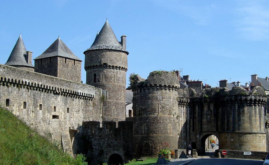
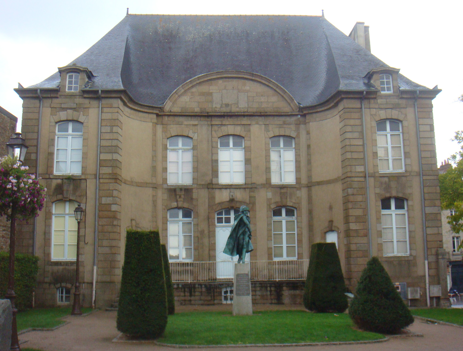
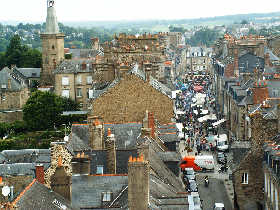
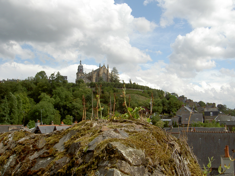
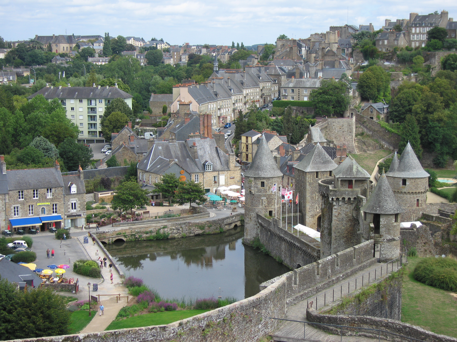
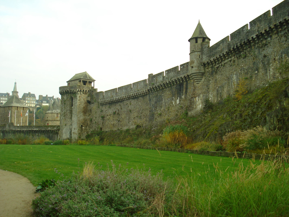
Gallery


Map and nearest places
| Longitude | Latitude |
|---|---|
| 48.3525 | -1.19861111111111 |
| 48°21'0"N | 1°11'0"W |
| Nearest places | ||
|---|---|---|
 | Antrain | 24.4km |
 | Vitre | 25.4km |
 | Chateaubourg | 30.7km |
 | Avranches | 38.7km |
 | Mont Saint Mitchel | 39.0km |
 | Cesson-Sevigne | 39.5km |
| Aéroport de Laval - Entrammes | 49.1km | |
| Rennes - Saint-Jacques Airport | 50.7km | |
| Aérodrome de Granville - Mont Saint Michel | 64.8km | |
| Dinard Airport | 70.0km | |
| Aeroport de Ancenis | 105.0km | |
| Caen - Carpiquet Airport | 106.5km | |
| John Paul II International Airport | 1,531.0km | |
| Tuuta Airport | 19,391.8km | |
Accomodation

Restaurants
Weblinks
Comments
You need to log in to add comment