


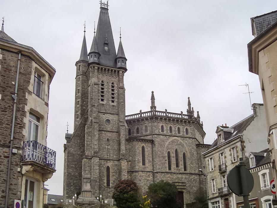
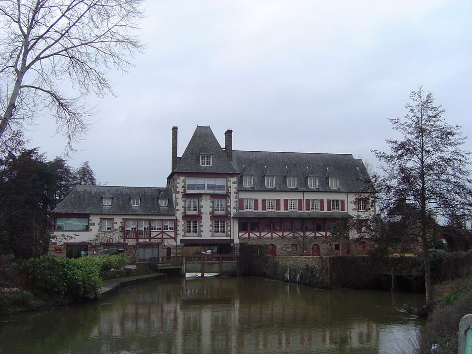
Gallery


Map and nearest places
| Longitude | Latitude |
|---|---|
| 48.111944444444404 | -1.40194444444444 |
| 48°6'0"N | 1°24'0"W |
| Nearest places | ||
|---|---|---|
 | Vitre | 14.5km |
 | Cesson-Sevigne | 15.0km |
 | Rennes | 20.6km |
| Rennes - Saint-Jacques Airport | 25.2km | |
 | Fougčres | 30.7km |
 | Antrain | 39.3km |
.svg_1284347376_16.png) | Laval | 47.2km |
| Aéroport de Laval - Entrammes | 49.8km | |
| Dinard Airport | 72.9km | |
| Aeroport de Ancenis | 80.0km | |
| Aérodrome de Granville - Mont Saint Michel | 86.5km | |
| Angers - Loire Airport | 101.9km | |
| John Paul II International Airport | 1,552.7km | |
| Tuuta Airport | 19,403.1km | |
Weblinks
Comments
You need to log in to add comment