


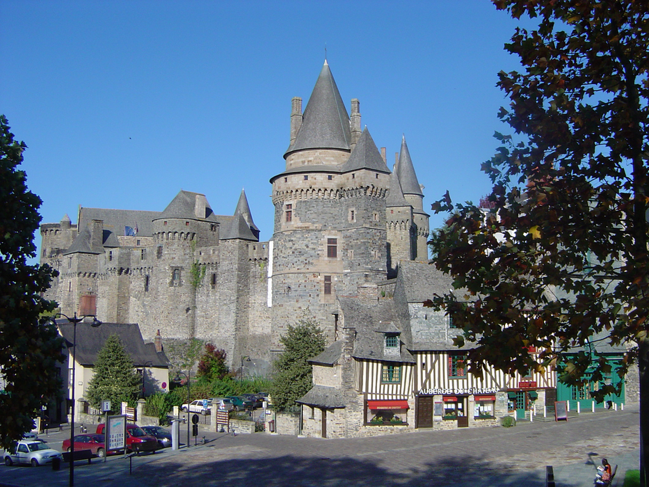
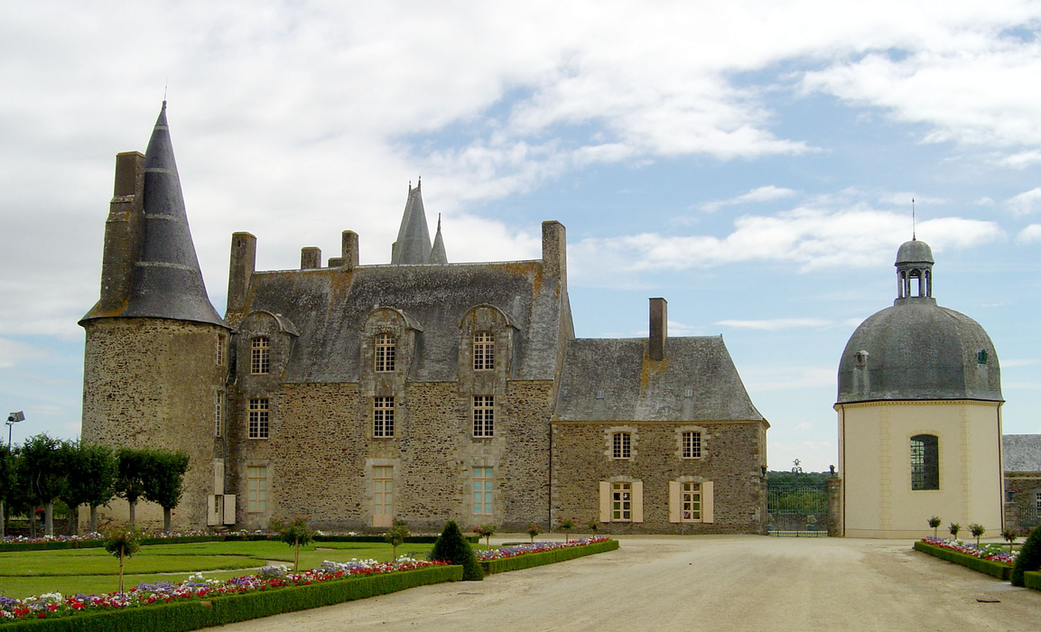
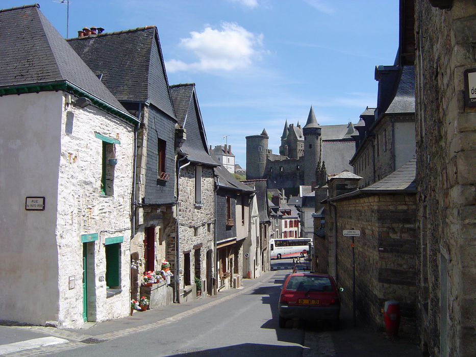
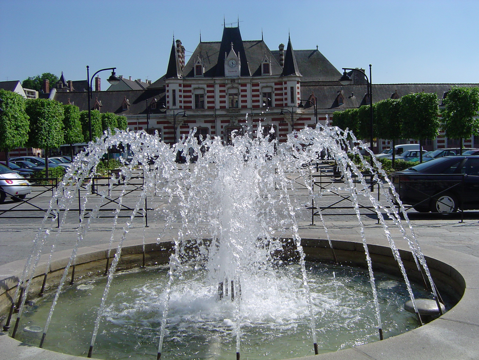
Gallery


Map and nearest places
| Longitude | Latitude |
|---|---|
| 48.124166666666696 | -1.2080555555555599 |
| 48°7'0"N | 1°12'0"W |
| Nearest places | ||
|---|---|---|
 | Chateaubourg | 14.5km |
 | FougŤres | 25.4km |
 | Cesson-Sevigne | 29.4km |
.svg_1284347376_16.png) | Laval | 33.1km |
 | Rennes | 35.0km |
| Aťroport de Laval - Entrammes | 36.0km | |
| Rennes - Saint-Jacques Airport | 39.6km | |
 | Antrain | 42.7km |
| Aeroport de Ancenis | 79.7km | |
| Dinard Airport | 82.5km | |
| Aťrodrome de Granville - Mont Saint Michel | 88.3km | |
| Angers - Loire Airport | 91.7km | |
| John Paul II International Airport | 1,538.5km | |
| Tuuta Airport | 19,411.2km | |
Weblinks
Comments
You need to log in to add comment