


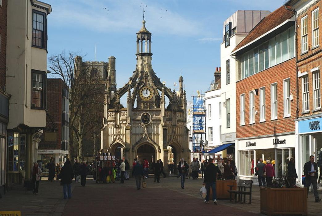
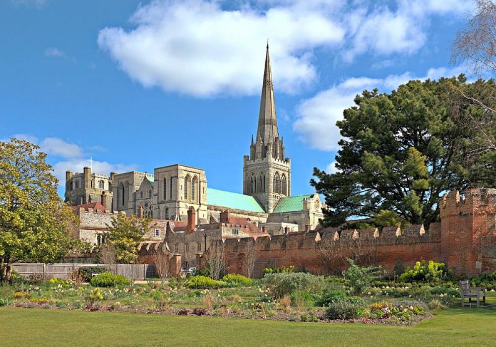
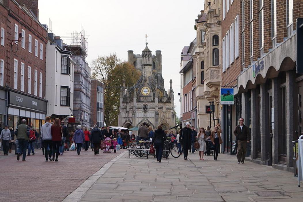


Map and nearest places
| Longitude | Latitude |
|---|---|
| 50.836388888888905 | -0.779166666666667 |
| 50°50'0"N | 0°46'0"W |
| Nearest places | ||
|---|---|---|
| Bognor Regis | 9.4km | |
| Havant | 14.2km | |
| Arundel | 15.9km | |
| Midhurst | 16.8km | |
| Waterlooville | 18.3km | |
| Petworth | 20.5km | |
| Bembridge Airport | 29.1km | |
| Shoreham Airport | 33.8km | |
| Southampton Airport | 42.5km | |
| London Gatwick Airport | 54.4km | |
| London Heathrow Airport | 74.7km | |
| Bournemouth Airport | 75.2km | |
| John Paul II International Airport | 1,453.5km | |
| Tuuta Airport | 19,169.0km | |
Accomodation

Restaurants
Wineries
Weblinks
Comments
You need to log in to add comment