


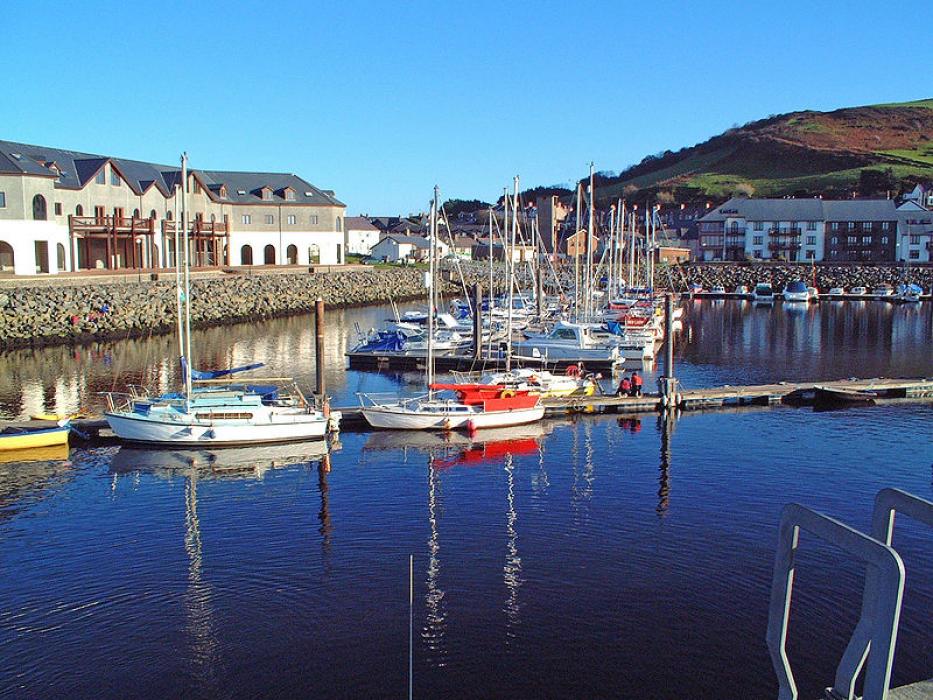
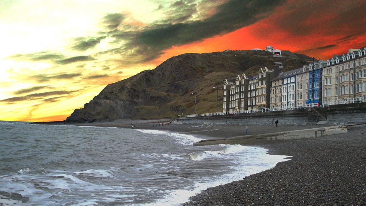


Map and nearest places
| Longitude | Latitude |
|---|---|
| 52.4138888888889 | -4.08166666666667 |
| 52°24'0"N | 4°4'0"W |
| Nearest places | ||
|---|---|---|
| Dolgellau | 38.0km | |
| Abersoch | 52.9km | |
| Pwllheli | 56.9km | |
| Porthmadog | 57.2km | |
| Carmarthen | 64.1km | |
| Nefyn | 65.2km | |
| Swansea Airport | 89.9km | |
| Anglesey Airport | 97.6km | |
| Hawarden Airport | 112.8km | |
| Cardiff International Airport | 123.9km | |
| Liverpool John Lennon Airport | 131.5km | |
| Bristol Filton Airport | 142.6km | |
| John Paul II International Airport | 1,673.5km | |
| Stewart Island Airport | 19,183.8km | |
Accomodation
Restaurants
Golfs club
Breweries
Weblinks
Comments
You need to log in to add comment