


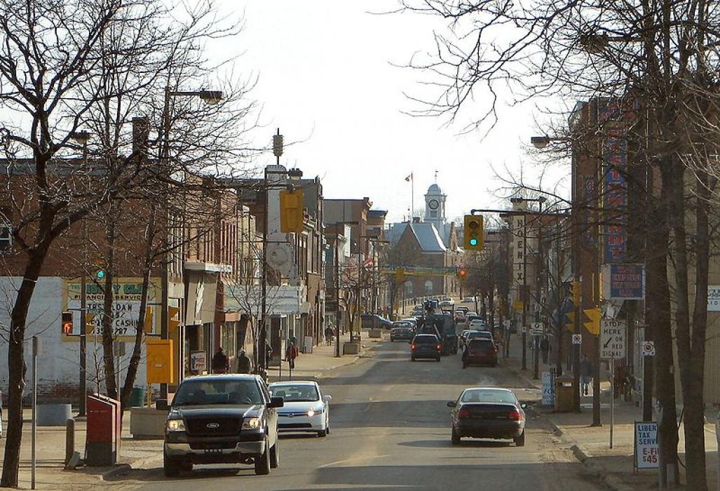
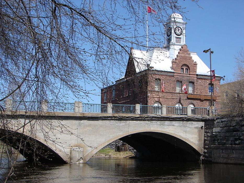
Gallery


Map and nearest places
| Longitude | Latitude |
|---|---|
| 45.816667 | -77.116667 |
| 45°49'0"N | 77°7'0"W |
| Nearest places | ||
|---|---|---|
| Pembroke Airport | 11.7km | |
| Cobden | 27.9km | |
| Mont Tremblant International Airport | 70.8km | |
| Arnprior | 72.3km | |
| Arnprior Airport | 73.6km | |
| Ottawa/Carp Airport | 101.4km | |
| Bancroft | 102.7km | |
 | Ottawa | 120.0km |
| Perth | 122.4km | |
| Gatineau-Ottawa Executive Airport | 125.1km | |
| Ottawa International Airport | 125.4km | |
| Smiths Falls | 133.3km | |
| John Paul II International Airport | 6,699.5km | |
| Busselton Regional Airport | 18,298.6km | |
Airports

Weblinks
Comments
You need to log in to add comment