


_1477035560_700.jpg)
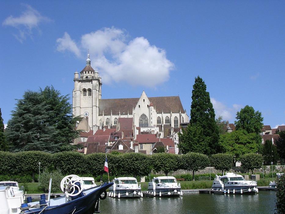
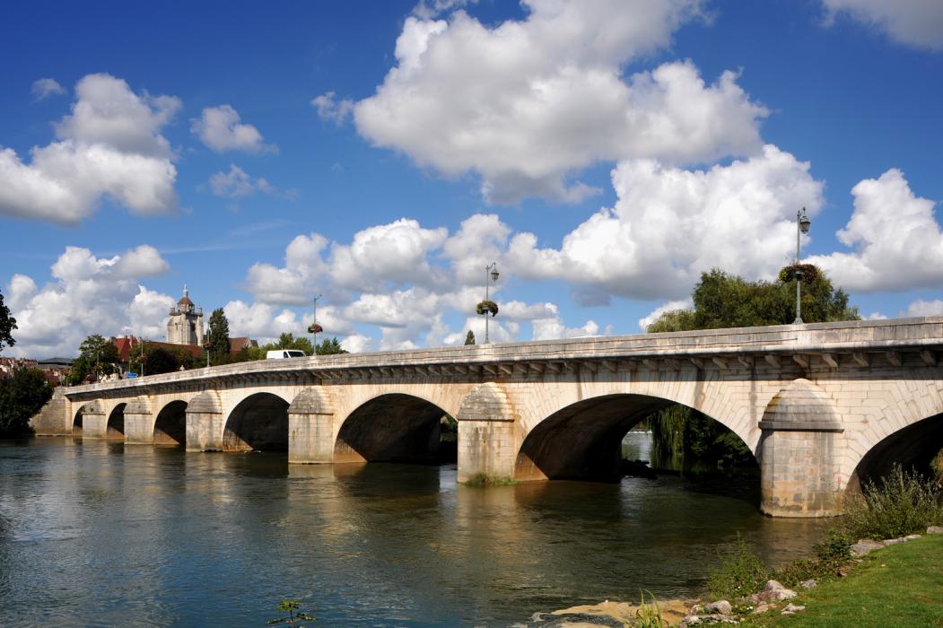
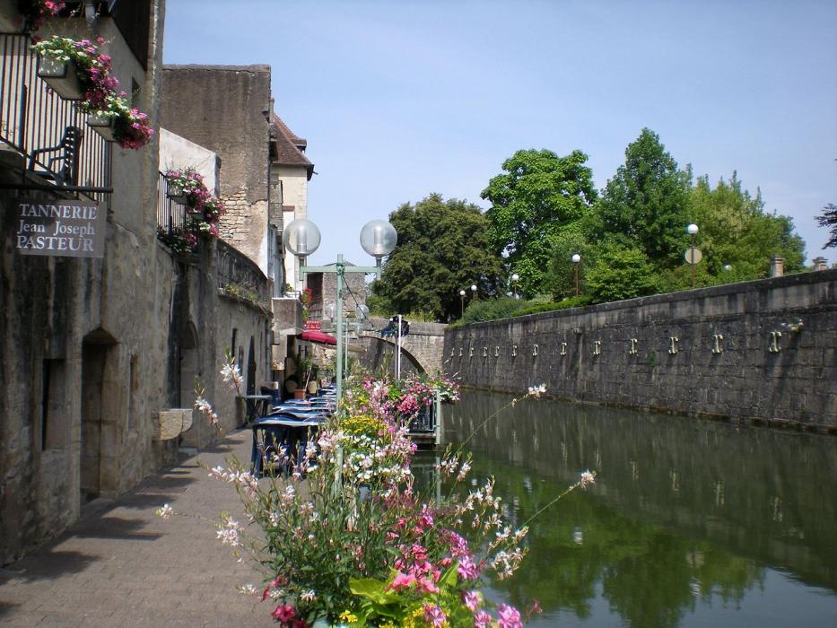


Map and nearest places
| Longitude | Latitude |
|---|---|
| 47.0931 | 5.4906 |
| 47°5'0"N | 5°29'0"E |
| Nearest places | ||
|---|---|---|
| Dole-Tavaux Airport | 7.0km | |
 | Arbois | 30.1km |
 | Salins-les-Bains | 33.8km |
| Dijon Airport | 35.5km | |
 | Gray | 39.9km |
 | Dijon | 40.3km |
 | Marsannay-la-Cote | 42.7km |
 | Baume-les-Messieurs | 44.4km |
| Besan�on La Veze Airport | 46.3km | |
| Chalon - Champforgeuil Airport | 59.0km | |
| A�rodrome de Autun - Bellevue | 93.8km | |
| Les Eplatures Airport | 98.7km | |
| John Paul II International Airport | 1,100.5km | |
| Tuuta Airport | 19,619.7km | |
Accomodation

Restaurants
Golfs club
Airports

Weblinks
Comments
You need to log in to add comment