


_1488586892_700.jpg)
_44378897_700.jpg)

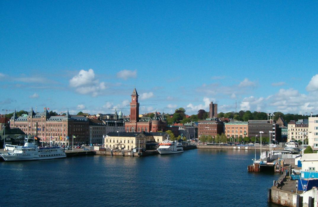


Map and nearest places
| Longitude | Latitude |
|---|---|
| 56.049722 | 12.699722 |
| 56°2'0"N | 12°41'0"E |
| Nearest places | ||
|---|---|---|
 | Helsingør | 5.5km |
| Landskrona Airport | 15.8km | |
 | H�gan�s | 18.6km |
 | Landskrona | 22.0km |
 | Angelholm | 24.1km |
| Angelholm-Helsingborg Airport | 28.9km | |
 | K�vlinge | 38.4km |
 | Copenhagen | 42.3km |
| Kastrup Airport | 48.1km | |
| Roskilde Airport | 62.6km | |
| Malmoe Starup Airport | 64.9km | |
| Halmstad Airport | 71.6km | |
| John Paul II International Airport | 814.6km | |
| Tuuta Airport | 18,507.5km | |
Accomodation
Restaurants
Wineries
Breweries
Weblinks
Comments
You need to log in to add comment