


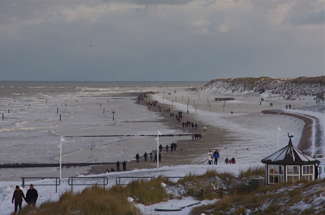


Map and nearest places
| Longitude | Latitude |
|---|---|
| 53.7 | 7.15 |
| 53°42'0"N | 7°9'0"E |
| Nearest places | ||
|---|---|---|
| Nordeney Airport | 5.3km | |
| Juist Airport | 6.5km | |
 | Juist | 10.0km |
 | Norden | 12.1km |
 | Baltrum | 14.7km |
| Baltrum Airport | 15.0km | |
 | Langeoog | 22.3km |
 | Greetsiel | 22.4km |
| Langeoog Airport | 23.4km | |
 | Esens | 31.0km |
| Borkum Airport | 31.3km | |
| Emden Airport | 34.7km | |
| John Paul II International Airport | 954.3km | |
| Tuuta Airport | 18,884.4km | |
Airports
Weblinks
Comments
You need to log in to add comment