


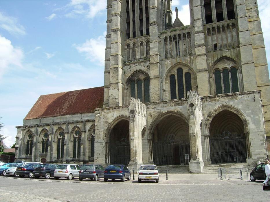
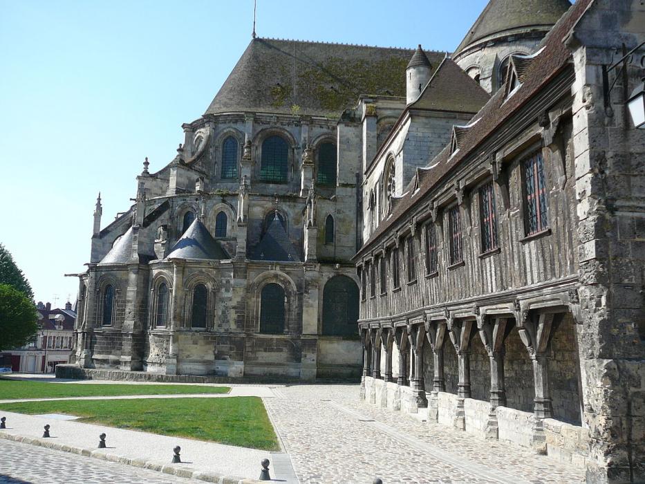
_1535734224_700.jpg)


Map and nearest places
| Longitude | Latitude |
|---|---|
| 49.5816666666667 | 2.99972222222222 |
| 49°34'0"N | 2°59'0"E |
| Nearest places | ||
|---|---|---|
 | Chauny | 16.3km |
| Compiègne | 22.5km | |
 | Compiègne | 22.5km |
 | Pierrefonds | 25.8km |
 | Soissons | 32.3km |
 | St-Quentin | 36.2km |
| Albert-Picardie Airport | 48.7km | |
| Aérodrome de Amiens - Glisy | 54.7km | |
| Paris Beauvais Tille Airport | 65.6km | |
| Charles de Gaulle International Airport | 71.2km | |
| Le Bourget Airport | 79.2km | |
| Reims - Champagne Aerodrome | 81.8km | |
| John Paul II International Airport | 1,202.7km | |
| Tuuta Airport | 19,372.0km | |
Accomodation

Weblinks
Comments
You need to log in to add comment