


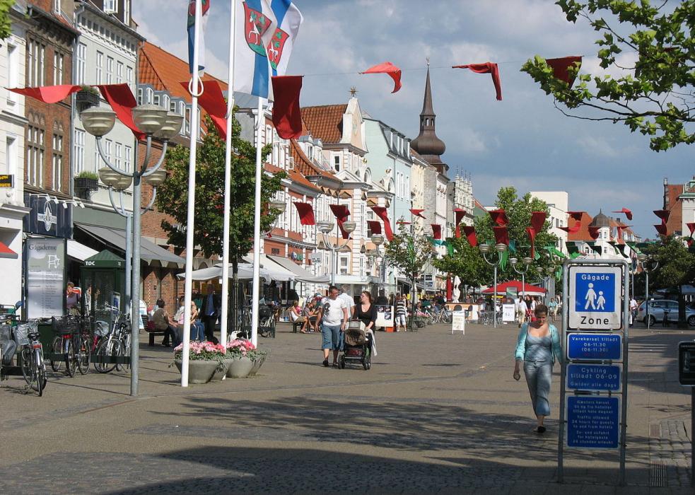


Map and nearest places
| Longitude | Latitude |
|---|---|
| 55.866666666666696 | 9.83333333333333 |
| 55°52'0"N | 9°49'0"E |
| Nearest places | ||
|---|---|---|
 | Skanderborg | 20.3km |
| Vejle | 25.1km | |
 | Fredericia | 33.8km |
 | Bogense | 37.3km |
| Silkeborg | 39.3km | |
 | Aarhus | 39.8km |
| Billund Airport | 44.9km | |
| Odense Airport | 53.4km | |
| Kolding Airport | 57.3km | |
| Herning Airport | 60.4km | |
| Karup Airport | 65.0km | |
| Haderselv Airport | 65.7km | |
| John Paul II International Airport | 924.8km | |
| Tuuta Airport | 18,602.0km | |
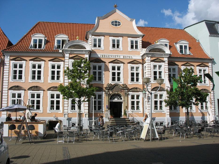
Accomodation

Restaurants
Museums
Golfs club
Weblinks
Comments
You need to log in to add comment