


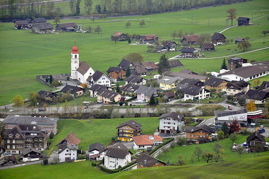


Map and nearest places
| Longitude | Latitude |
|---|---|
| 46.9333333333333 | 8.38333333333333 |
| 46°55'0"N | 8°22'0"E |
| Nearest places | ||
|---|---|---|
 | Stans | 3.1km |
 | Stansstad | 6.2km |
 | Hergiswil | 7.3km |
 | Beckenried | 7.3km |
 | Alpnach | 8.9km |
 | Kerns | 9.6km |
| Luzern Airport | 31.6km | |
| Buttwil Airport | 37.4km | |
| Ambri Piotta Airport | 52.3km | |
| Ecuvillens Airport | 57.3km | |
| Birrfeld Airfield | 57.9km | |
| Zurich Airport | 60.4km | |
| John Paul II International Airport | 908.6km | |
| Tuuta Airport | 19,501.9km | |
Weblinks
Comments
You need to log in to add comment