


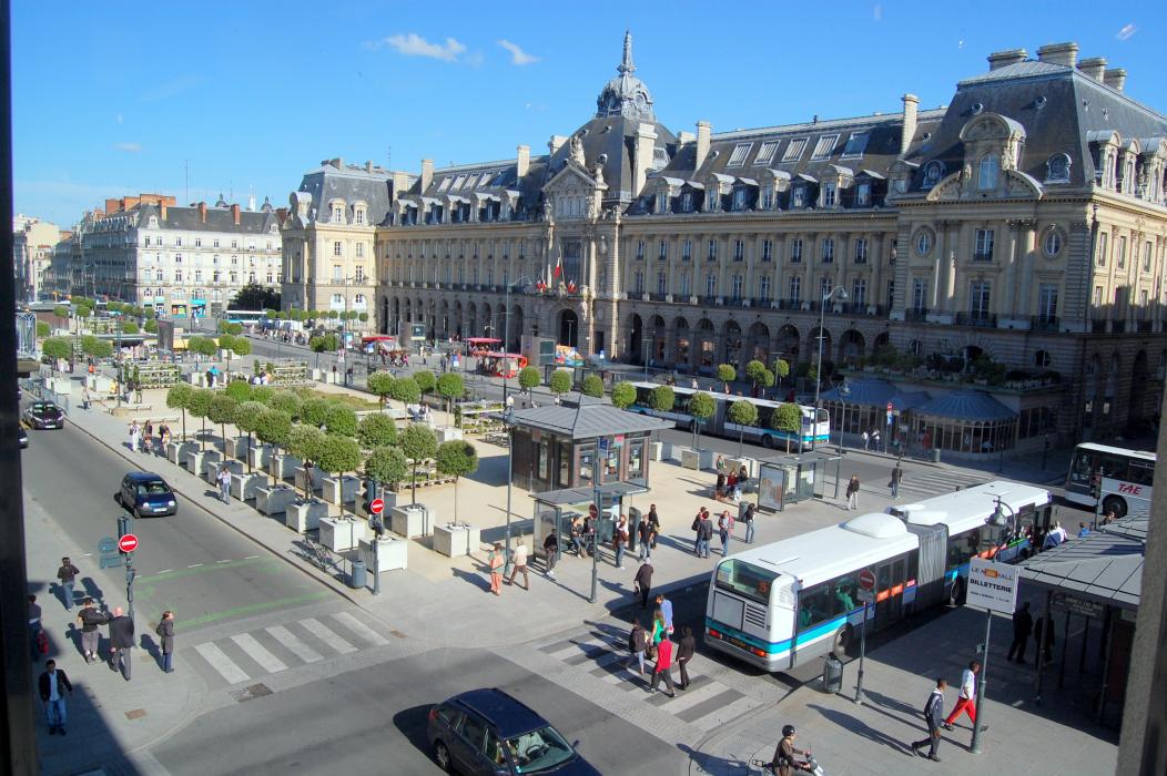
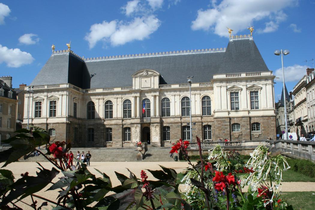
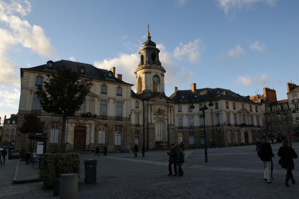
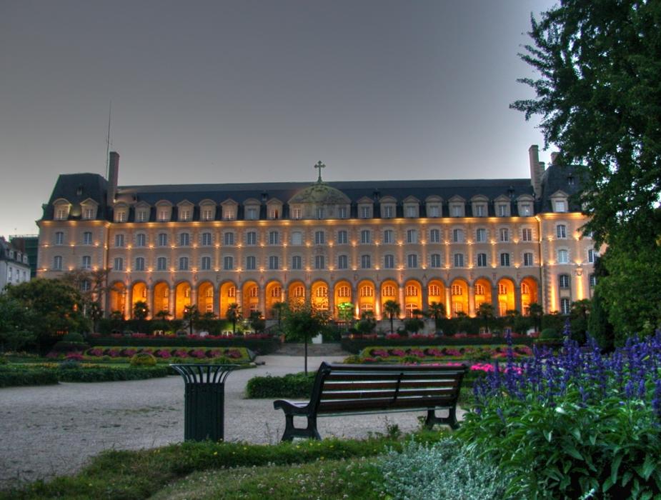
Gallery


Map and nearest places
| Longitude | Latitude |
|---|---|
| 48.1147222222222 | -1.67944444444444 |
| 48°6'0"N | 1°40'0"W |
| Nearest places | ||
|---|---|---|
 | Cesson-Sevigne | 5.7km |
| Rennes - Saint-Jacques Airport | 6.5km | |
 | Chateaubourg | 20.6km |
 | Vitre | 35.0km |
 | Antrain | 41.1km |
 | Foug�res | 44.4km |
 | Dinan | 46.8km |
| Dinard Airport | 60.4km | |
| A�roport de Laval - Entrammes | 70.2km | |
| A�rodrome de Granville - Mont Saint Michel | 85.8km | |
| Aeroport de Ancenis | 87.1km | |
| Vannes - Golfe du Morbihan Airport | 89.4km | |
| John Paul II International Airport | 1,572.4km | |
| Tuuta Airport | 19,389.2km | |
Airports
Weblinks
Comments
You need to log in to add comment