


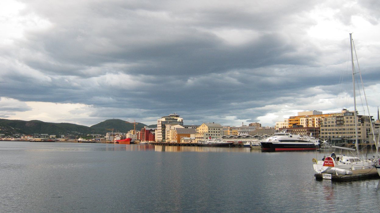
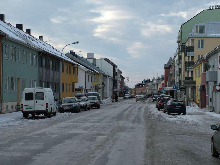
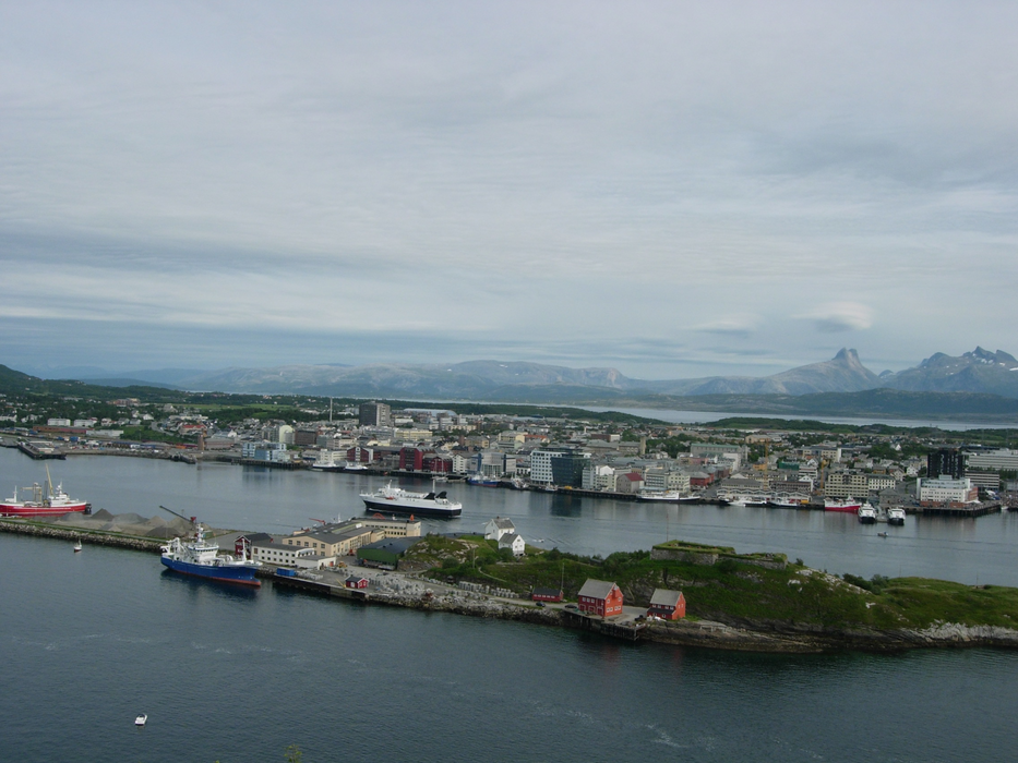
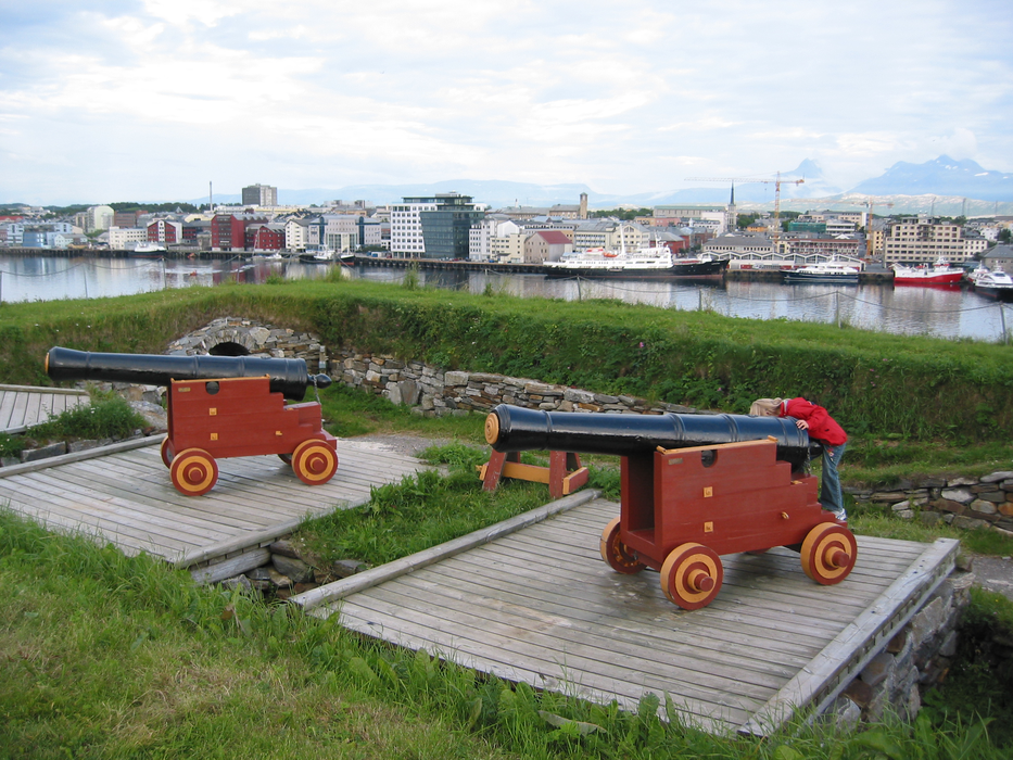
Gallery


Map and nearest places
| Longitude | Latitude |
|---|---|
| 67.28 | 14.405 |
| 67°16'0"N | 14°24'0"E |
| Nearest places | ||
|---|---|---|
| Bodo Airport | 2.1km | |
 | Fauske | 60.5km |
| Vaeroy Heliport | 82.8km | |
| S�rv�gen - Lofoten Islands | 88.8km | |
| Reine - Lofoten islands | 91.6km | |
| Nusfjord - Lofoten Islands | 95.1km | |
| Ballstad - Lofoten Island | 95.6km | |
| Stamsund - Lofoten Island | 97.7km | |
| Rost Airport | 102.0km | |
| Mo i Rana Airport | 102.0km | |
| Leknes Airport | 102.7km | |
| Svolvar Airport | 107.7km | |
| John Paul II International Airport | 1,936.2km | |
| Tuuta Airport | 17,326.6km | |
Accomodation
Restaurants
Museums
Airports
Weblinks
Comments
You need to log in to add comment