


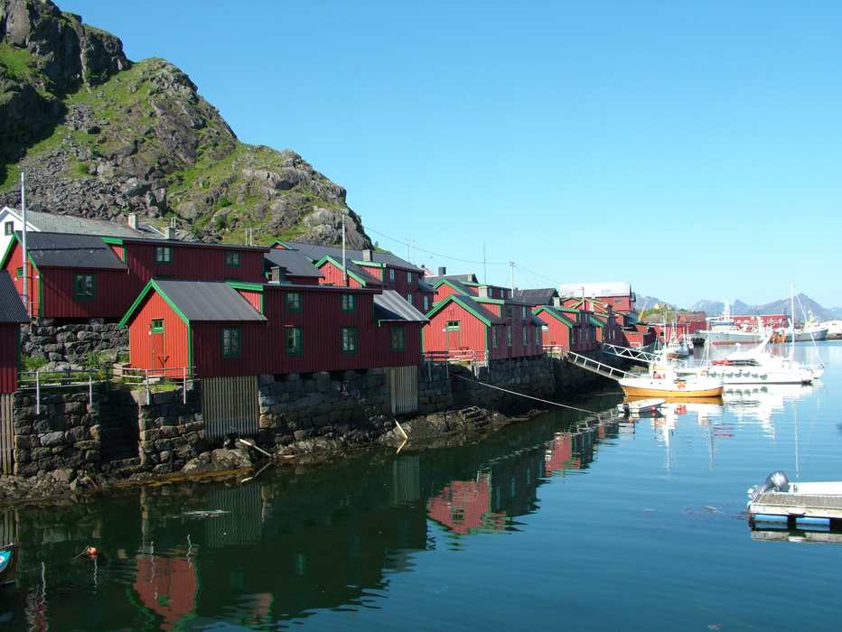
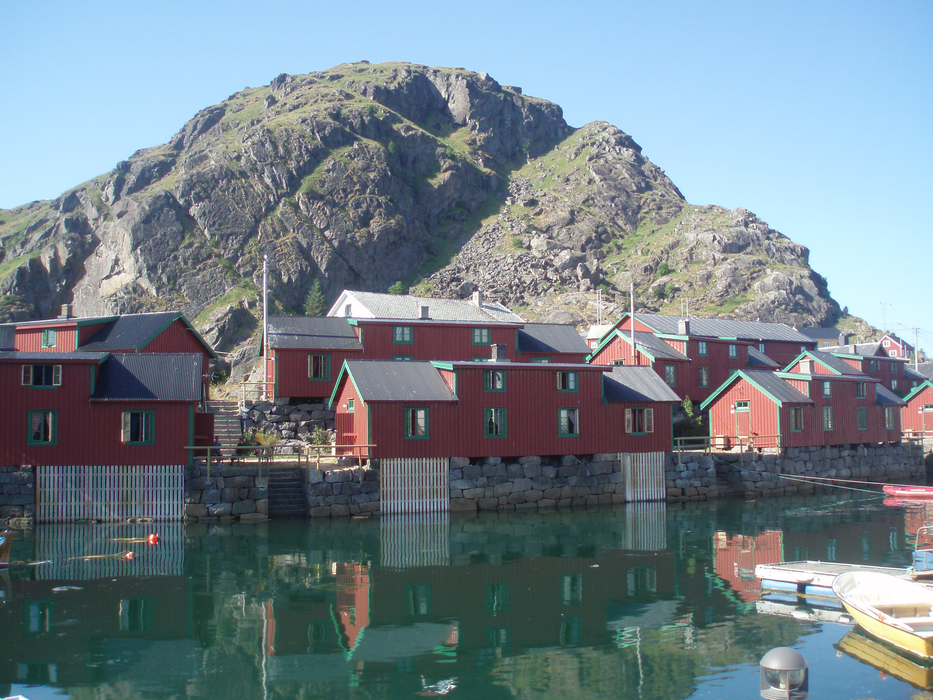
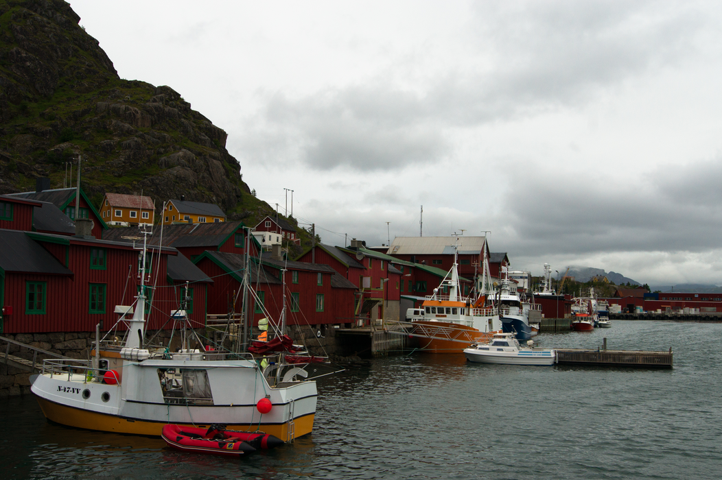


Map and nearest places
| Longitude | Latitude |
|---|---|
| 68.1333333333333 | 13.85 |
| 68°7'0"N | 13°50'0"E |
| Nearest places | ||
|---|---|---|
| Leknes | 10.0km | |
| Leknes Airport | 10.2km | |
| Ballstad - Lofoten Island | 14.5km | |
| Henningsvćr - Lofoten Islands | 14.8km | |
| Nusfjord - Lofoten Islands | 23.5km | |
| Flakstad - Lofoten Islands | 24.6km | |
| Kabelvag - Lofoten Islands | 27.5km | |
| Svolvar Airport | 36.0km | |
| Stokmarknes Airport | 69.3km | |
| Vaeroy Heliport | 71.0km | |
| Bodo Airport | 98.5km | |
| Rost Airport | 100.5km | |
| John Paul II International Airport | 2,033.9km | |
| Tuuta Airport | 17,244.1km | |
Accomodation
Weblinks
Comments
You need to log in to add comment