


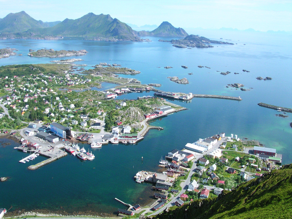
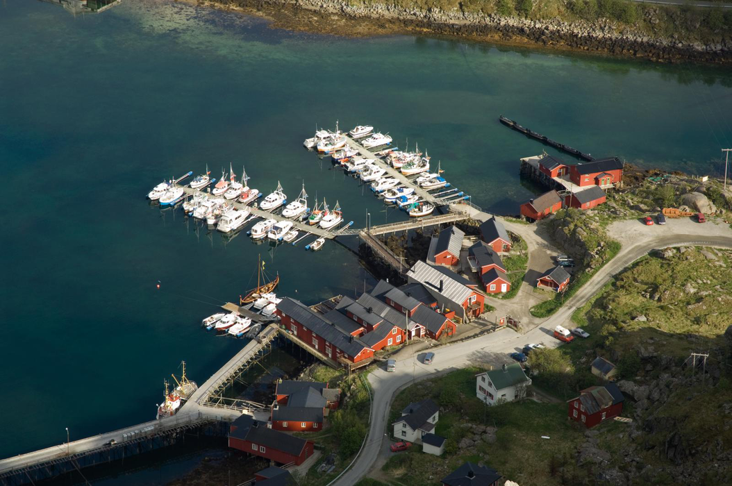
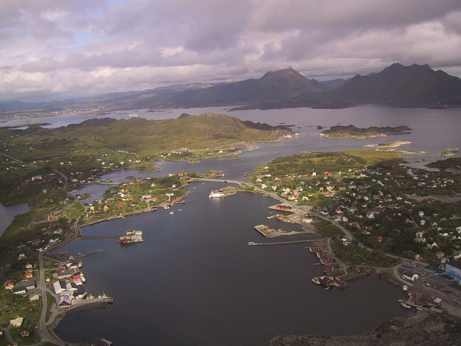


Map and nearest places
| Longitude | Latitude |
|---|---|
| 68.0744444444444 | 13.5380555555556 |
| 68°4'0"N | 13°32'0"E |
| Nearest places | ||
|---|---|---|
| Leknes | 8.6km | |
| Nusfjord - Lofoten Islands | 9.0km | |
| Leknes Airport | 9.2km | |
| Flakstad - Lofoten Islands | 11.0km | |
| Stamsund - Lofoten Island | 14.5km | |
| Reine - Lofoten islands | 24.4km | |
| Henningsvćr - Lofoten Islands | 29.0km | |
| Svolvar Airport | 50.4km | |
| Vaeroy Heliport | 57.7km | |
| Stokmarknes Airport | 83.1km | |
| Rost Airport | 86.6km | |
| Bodo Airport | 96.1km | |
| John Paul II International Airport | 2,030.3km | |
| Stewart Island Airport | 17,257.1km | |
Weblinks
Comments
You need to log in to add comment