


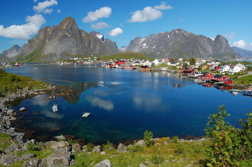
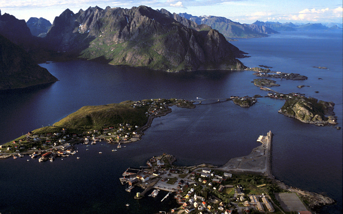
Gallery


Map and nearest places
| Longitude | Latitude |
|---|---|
| 67.9338888888889 | 13.0894444444444 |
| 67°56'0"N | 13°5'0"E |
| Nearest places | ||
|---|---|---|
| Sřrvĺgen - Lofoten Islands | 6.1km | |
| Nusfjord - Lofoten Islands | 15.6km | |
| Flakstad - Lofoten Islands | 17.9km | |
| Ballstad - Lofoten Island | 24.4km | |
| Leknes | 32.2km | |
| Leknes Airport | 32.5km | |
| Vaeroy Heliport | 34.5km | |
| Stamsund - Lofoten Island | 38.6km | |
| Rost Airport | 62.4km | |
| Svolvar Airport | 74.0km | |
| Bodo Airport | 91.6km | |
| Stokmarknes Airport | 107.4km | |
| John Paul II International Airport | 2,019.4km | |
| Stewart Island Airport | 17,281.3km | |
Accomodation
Weblinks
Comments
You need to log in to add comment