


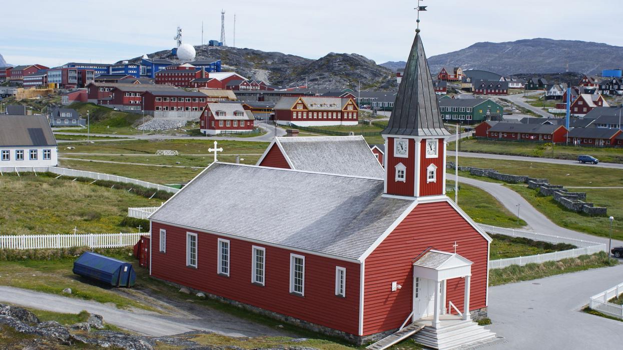


Map and nearest places
| Longitude | Latitude |
|---|---|
| 64.175 | -51.7388888888889 |
| 64°10'0"N | 51°44'0"W |
| Nearest places | ||
|---|---|---|
| Nuuk Airport | 3.3km | |
| Maniitsoq | 148.6km | |
| Maniitsoq Airport | 148.9km | |
 | Paamiut | 263.9km |
| Paamiut Airport | 264.2km | |
| Kangerlussuaq | 318.7km | |
| Kangerlussuaq Airport | 319.7km | |
| Sisimiut | 319.9km | |
| Sisimiut Airport | 322.0km | |
| Narsaq Heliport | 464.5km | |
| Narsarsuaq | 465.5km | |
 | Narsaq | 471.2km |
| John Paul II International Airport | 4,318.6km | |
| Hobart International Airport | 17,347.0km | |
Accomodation


Restaurants
Museums
Airports

Weblinks
Comments
You need to log in to add comment