


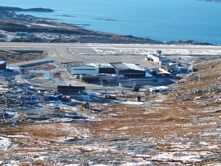
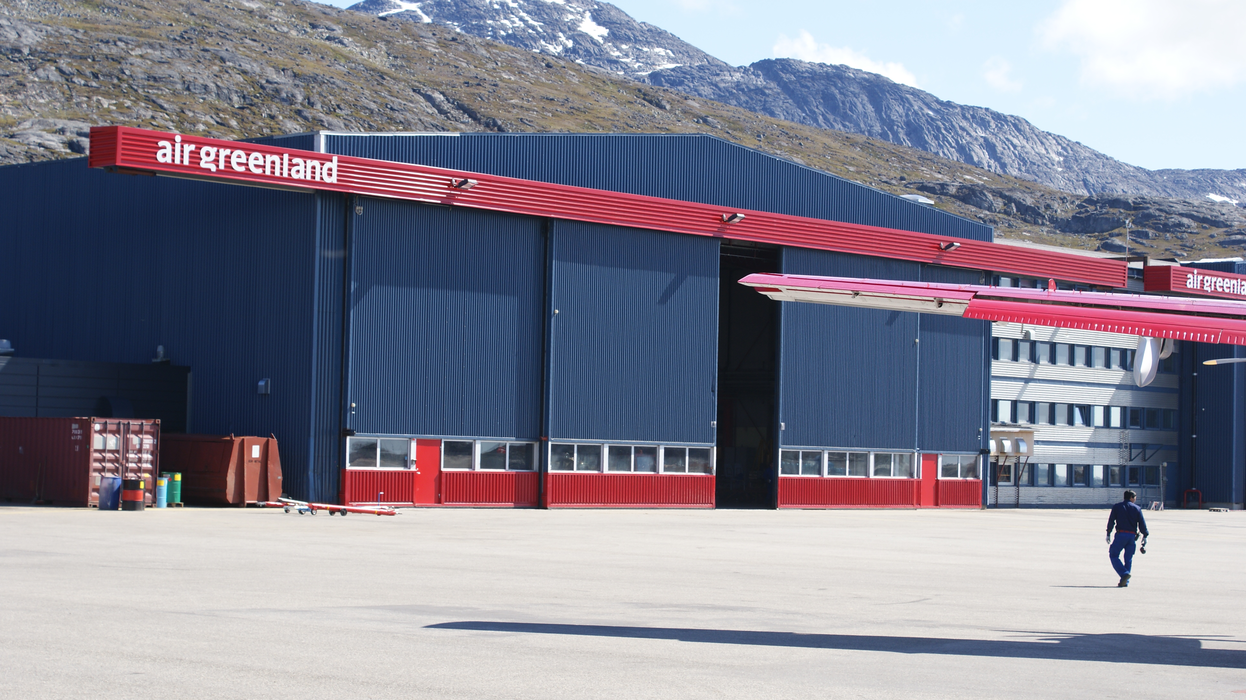
Gallery


Map and nearest places
| Longitude | Latitude |
|---|---|
| 64.1922222222222 | -51.6825 |
| 64°11'0"N | 51°40'0"W |
| Nearest places | ||
|---|---|---|
 | Nuuk | 3.3km |
| Maniitsoq | 147.8km | |
| Maniitsoq Airport | 148.2km | |
 | Paamiut | 264.6km |
| Paamiut Airport | 264.9km | |
| Kangerlussuaq | 316.5km | |
| Kangerlussuaq Airport | 317.5km | |
| Sisimiut | 318.8km | |
| Sisimiut Airport | 320.9km | |
| Narsarsuaq Airport | 464.0km | |
| Narsaq Heliport | 464.1km | |
| Narsarsuaq | 464.9km | |
| John Paul II International Airport | 4,315.5km | |
| Hobart International Airport | 17,347.1km | |
General informations
| Airport type | Regional airport |
| ICAO | BGGH |
| IATA | GOH |
| Elevation | 283 ft / 86 m MSL |
| World Pax Ranking 2015 | #1765 |
| World Pax Ranking 2012 | #1704 |
| Year | Pax |
|---|---|
| 2015 | 72871 |
| 2012 | 69324 |
| 2008 | 63575 |
| 2004 | 76120 |
| 2003 | 79127 |
Weblinks
Comments
You need to log in to add comment