


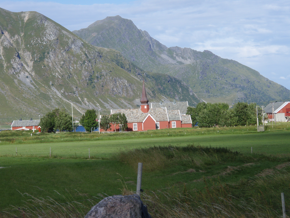
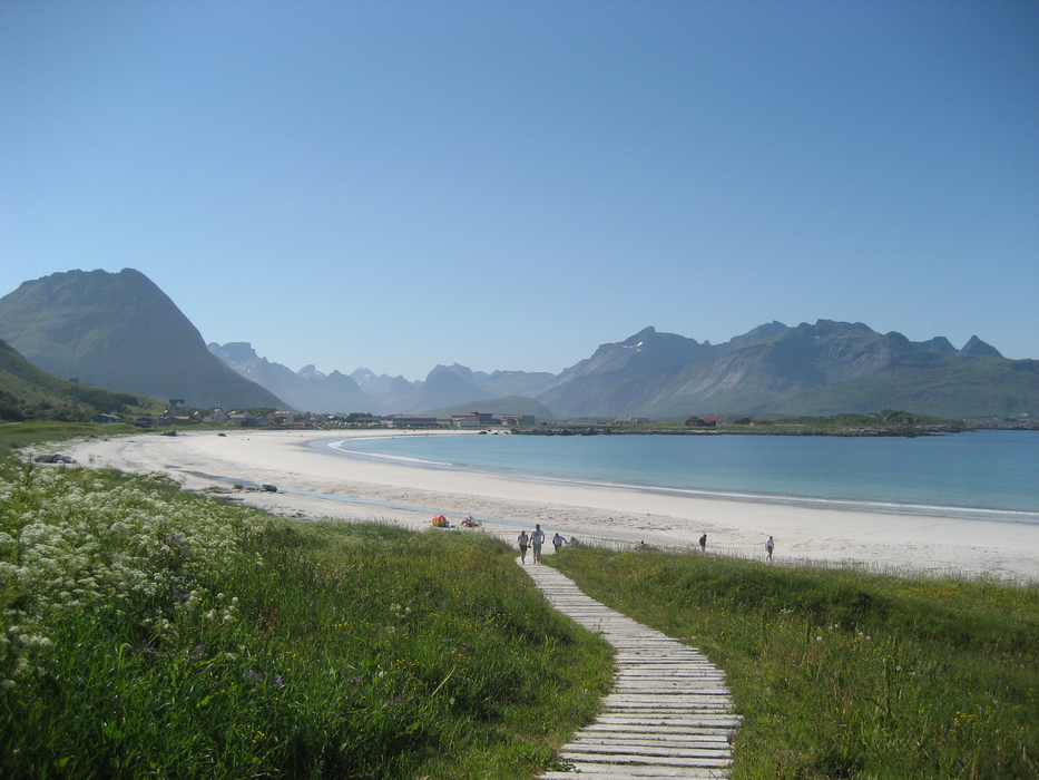
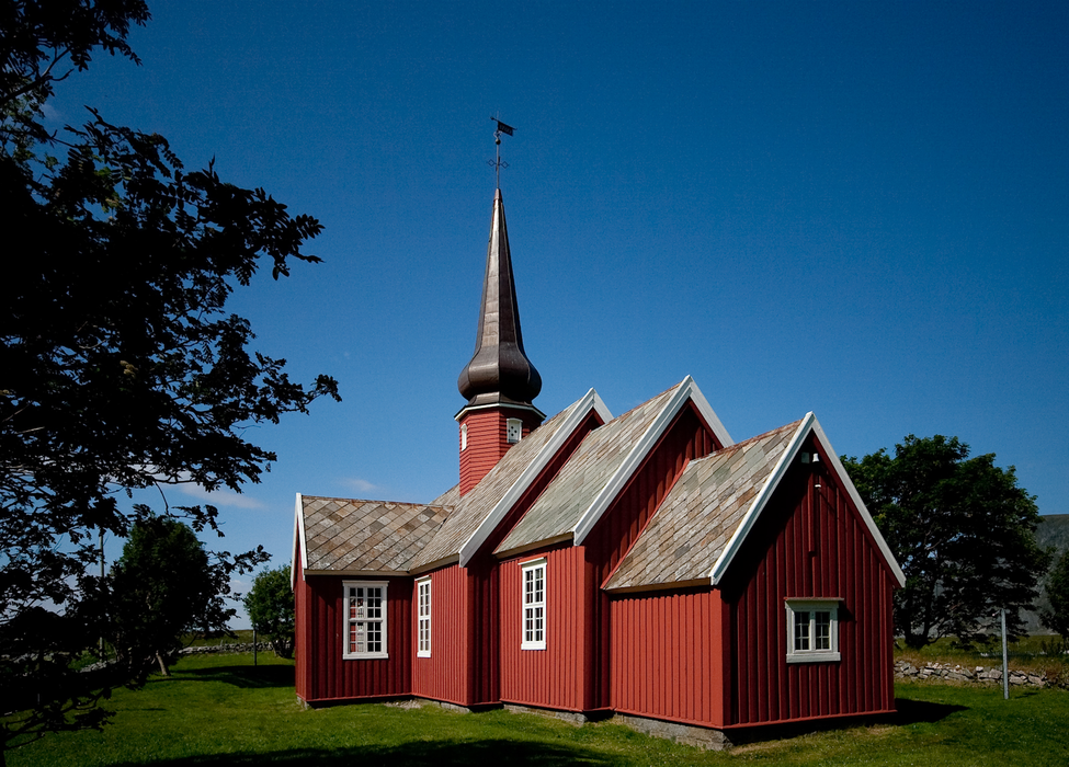
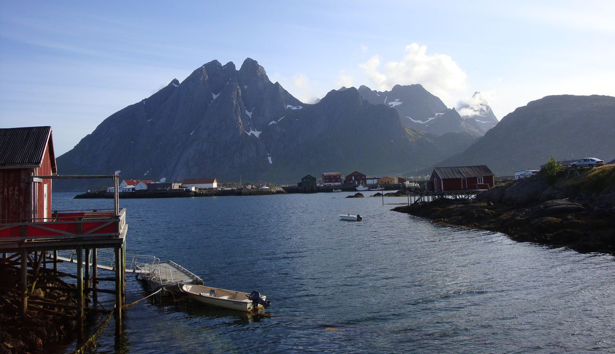
Gallery


Map and nearest places
| Longitude | Latitude |
|---|---|
| 68.0791666666667 | 13.2744444444444 |
| 68°4'0"N | 13°16'0"E |
| Nearest places | ||
|---|---|---|
| Nusfjord - Lofoten Islands | 5.8km | |
| Ballstad - Lofoten Island | 11.0km | |
| Leknes | 15.9km | |
| Leknes Airport | 16.1km | |
| Reine - Lofoten islands | 17.9km | |
| Sřrvĺgen - Lofoten Islands | 24.0km | |
| Stamsund - Lofoten Island | 24.6km | |
| Vaeroy Heliport | 52.4km | |
| Svolvar Airport | 60.5km | |
| Rost Airport | 79.7km | |
| Stokmarknes Airport | 91.0km | |
| Bodo Airport | 101.2km | |
| John Paul II International Airport | 2,033.3km | |
| Stewart Island Airport | 17,264.3km | |
Weblinks
Comments
You need to log in to add comment