


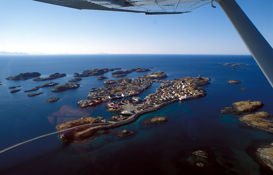
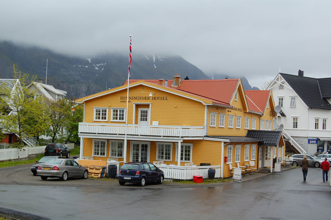
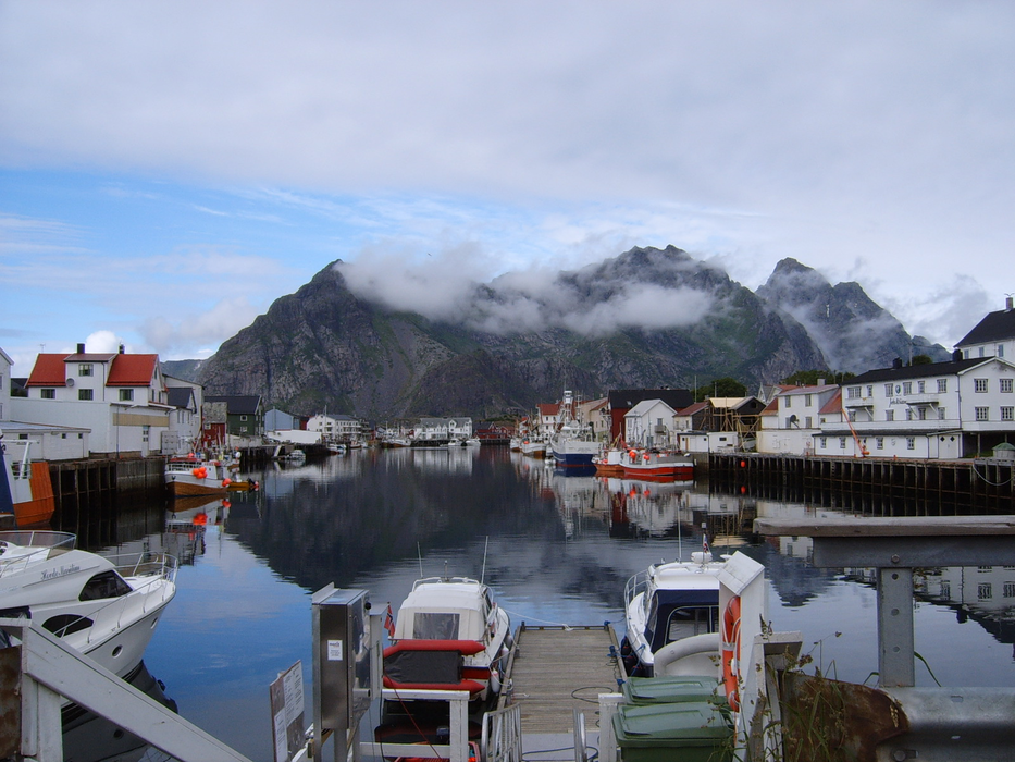
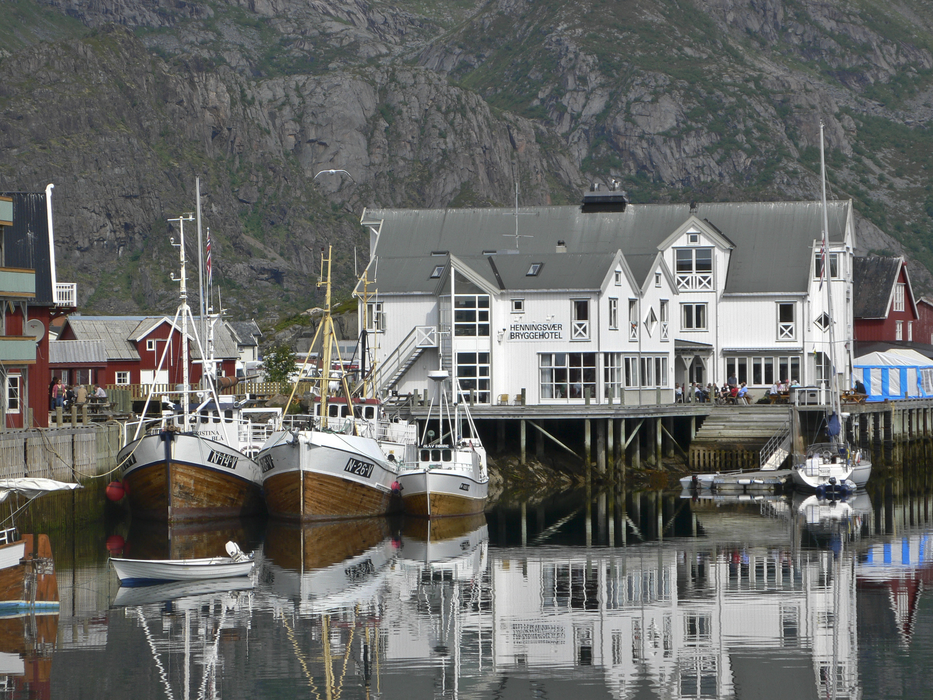
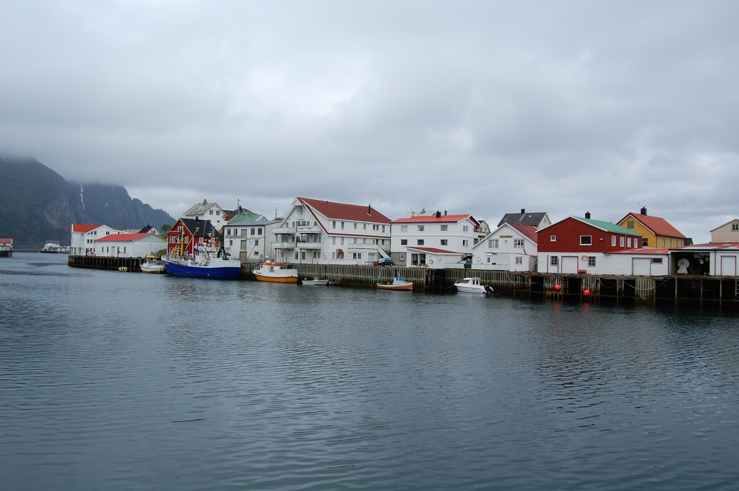
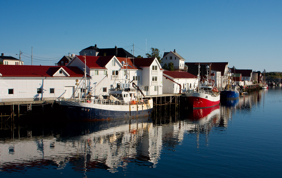
Gallery


Map and nearest places
| Longitude | Latitude |
|---|---|
| 68.1558333333333 | 14.2025 |
| 68°9'0"N | 14°12'0"E |
| Nearest places | ||
|---|---|---|
| Kabelvag - Lofoten Islands | 13.1km | |
| Stamsund - Lofoten Island | 14.8km | |
 | Svolvaer - Lofoten Islands | 17.3km |
| Svolvar Airport | 21.6km | |
| Leknes | 24.5km | |
| Leknes Airport | 24.5km | |
| Ballstad - Lofoten Island | 29.0km | |
| Nusfjord - Lofoten Islands | 37.9km | |
| Stokmarknes Airport | 58.1km | |
| Vaeroy Heliport | 83.1km | |
| Bodo Airport | 98.8km | |
| Harstad/Narvik Airport, | 108.2km | |
| John Paul II International Airport | 2,033.3km | |
| Tuuta Airport | 17,237.2km | |
Accomodation
Weblinks
Comments
You need to log in to add comment